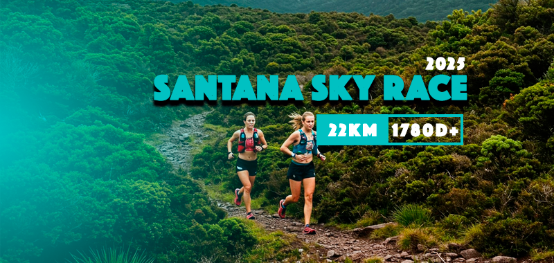
Santana Sky Race 2025
Trail is open!
22.1Km (Trail running)
Moderately busy
4.0
2
Trail details
DifficultyTrail Running
Start
Santana
End
Santana
My trails
What to Expect
A Skyrunning experience to ascend a mountain of natural beauty in the municipality of Santana, ranging from 400 to 1600 meters of altitude. The challenge takes place primarily on mountainous terrain, offering breathtaking views, with a climb to the highest point of the course, Encumeada Alta, followed by a long descent to the parish of Ilha. Technical and varied terrains, steep climbs and descents complete a course full of attractions, contributing to the challenge of a moderate race, starting and finishing near the Santana City Hall! https://madeiraskyrunning.com/
Gallery
Map and Elevation profile
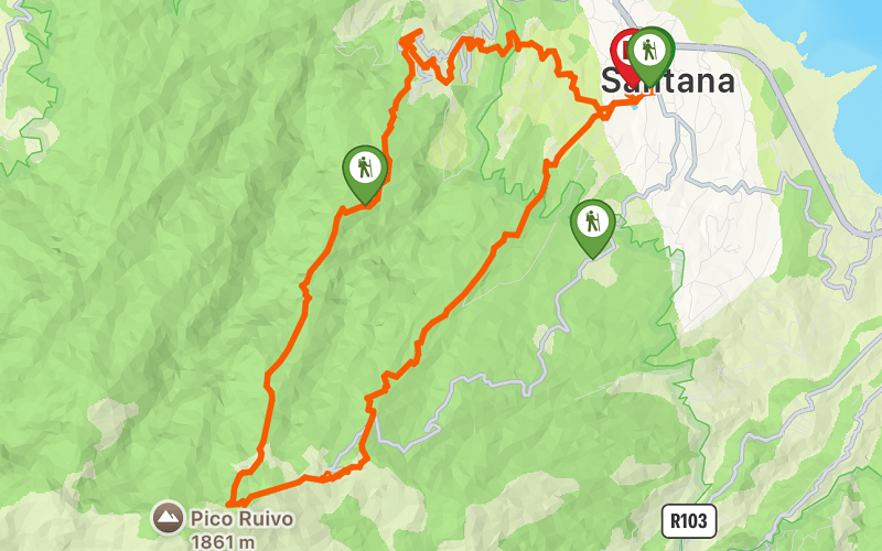

1650m
Elevation gain
1664m
Elevation loss
1732m
Highest point
199m
Lowest point

Trail details
DifficultyTrail Running
Start
Santana
End
Santana
My trails
Weather
More trail details in WalkMe APP

Comments (0)
To leave a comment you must be
Hike this trail with confidence.