
Vereda do Pico Fernandes (PR6.5)
Trail details
My trails
What to Expect
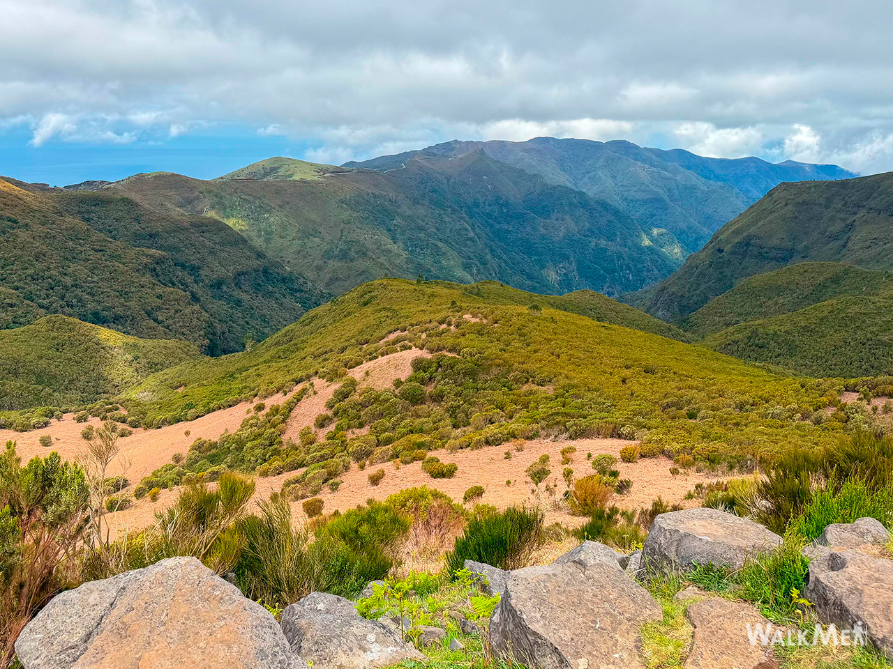
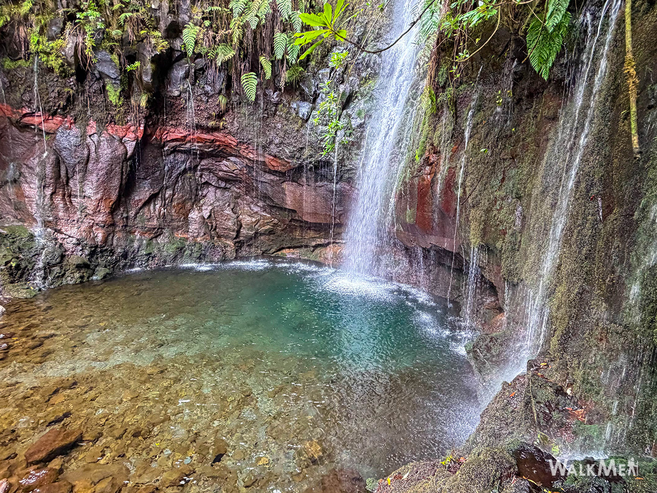
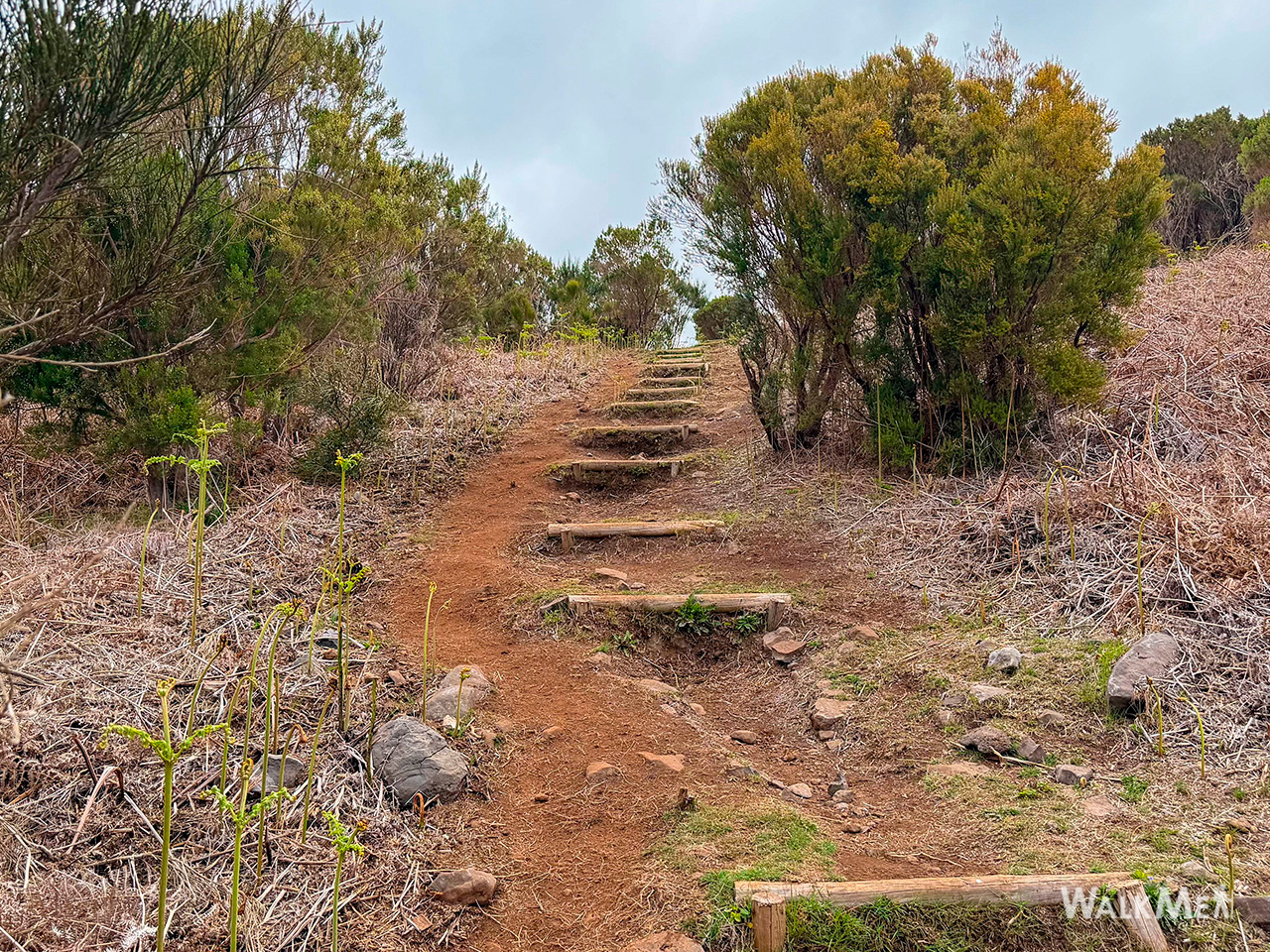
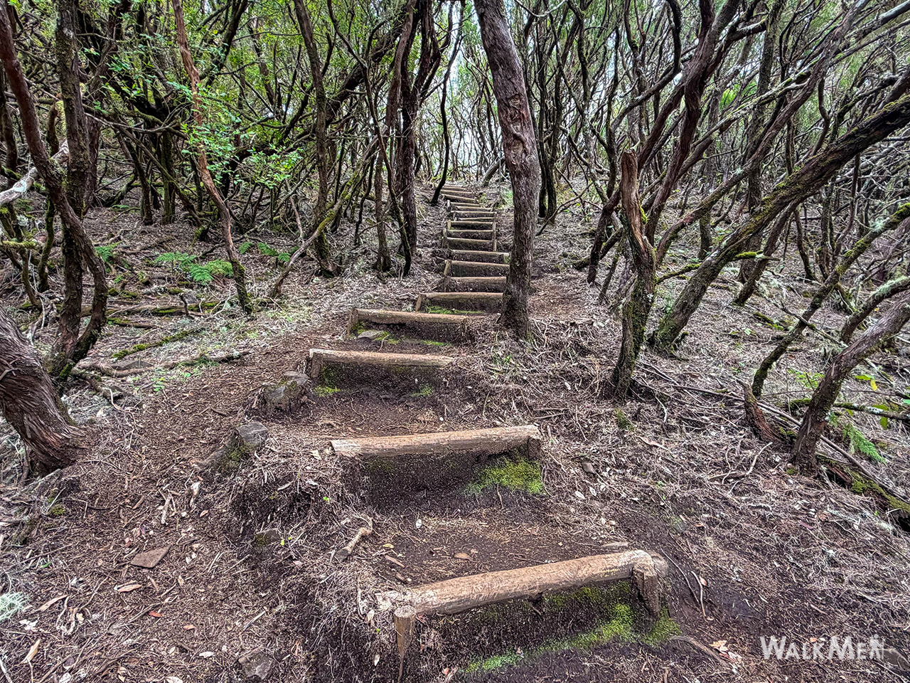
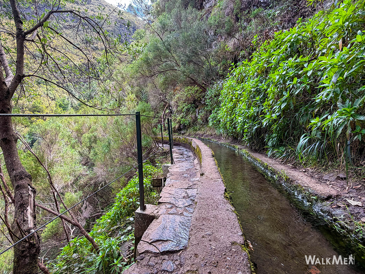
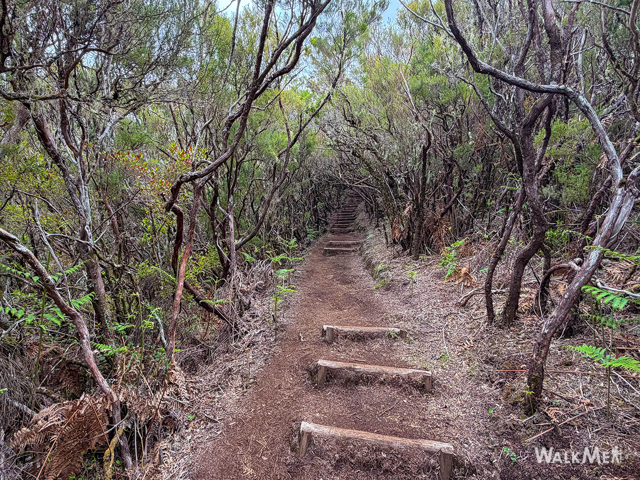
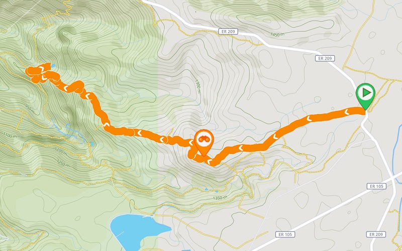
This trail is a true sensory journey that begins on the impressive plateau of Paul da Serra. The route descends along an ancient path that serves as a gateway to one of Madeira’s most iconic landscapes: the 25 Fontes Waterfall. At the start, the path is surrounded by high-altitude heather, but as you lose altitude, the scenery transforms and the lush Laurissilva Forest takes center stage, featuring species such as laurel, lily-of-the-valley trees, and Madeira mahogany. At the beginning of the trail, you will find a parking area, allowing you to start your walk with ease and convenience. Along the way, take advantage of the various viewpoints, such as Pico Fernandes, to admire the landscape, offering 360º views over the open areas of Paul da Serra, the Rabaçal area with its shelter house, and the Pico da Urze dam. Upon reaching 25 Fontes, let yourself be inspired by nature in one of Madeira’s most mystical and photographed locations. After regaining your energy by the lagoon, you can either return along the same path or explore one of the nearby trails to complete your day in nature.
Gallery
Map and Elevation profile

Trail details
My trails
Weather

Webcam
www.netmadeira.ptMore trail details in WalkMe APP

Comments (0)
To leave a comment you must be
Hike this trail with confidence.