
Vereda do Areeiro - Pedra Rija (PR1)
Trail details
My trails
What to Expect
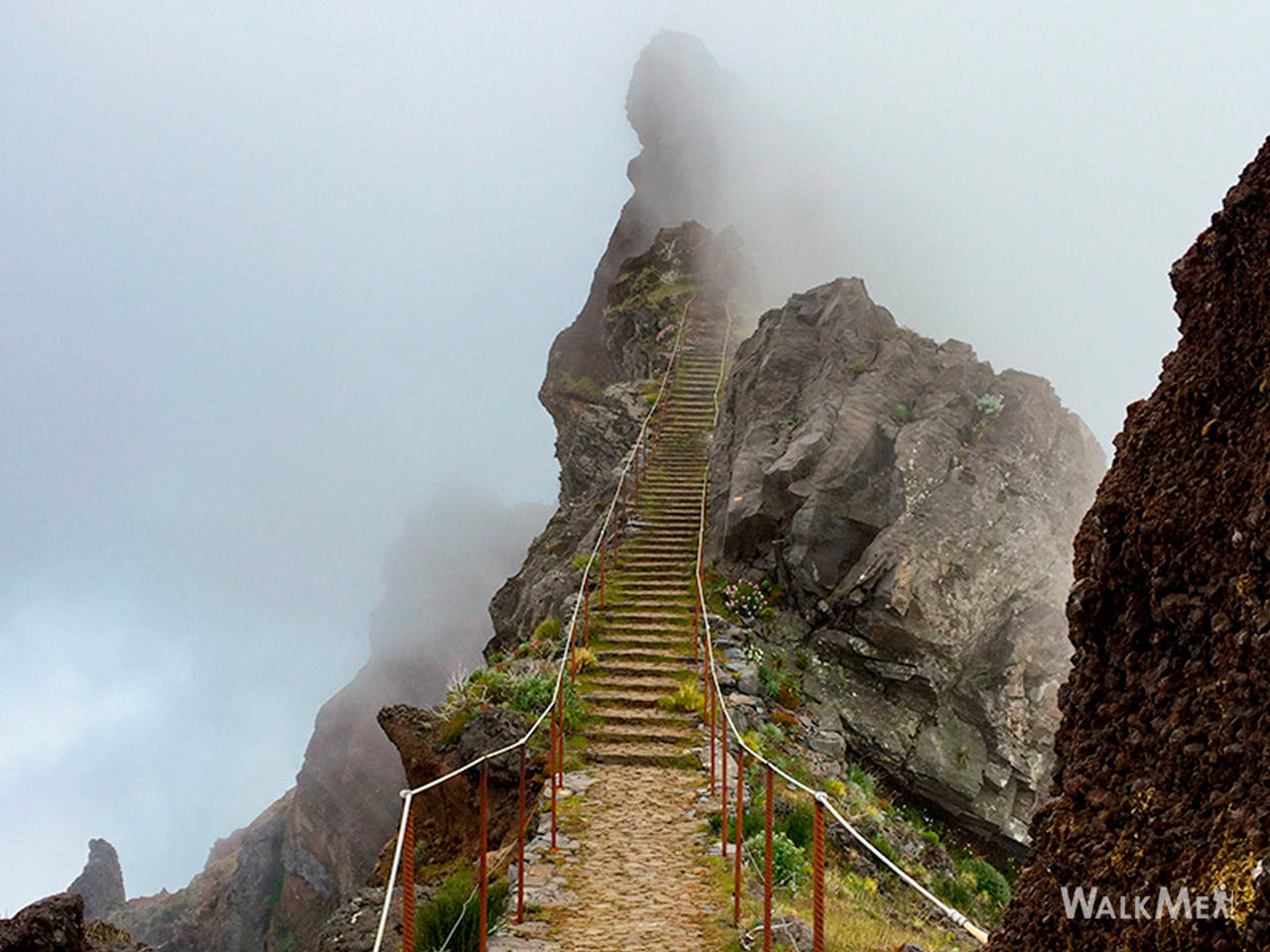
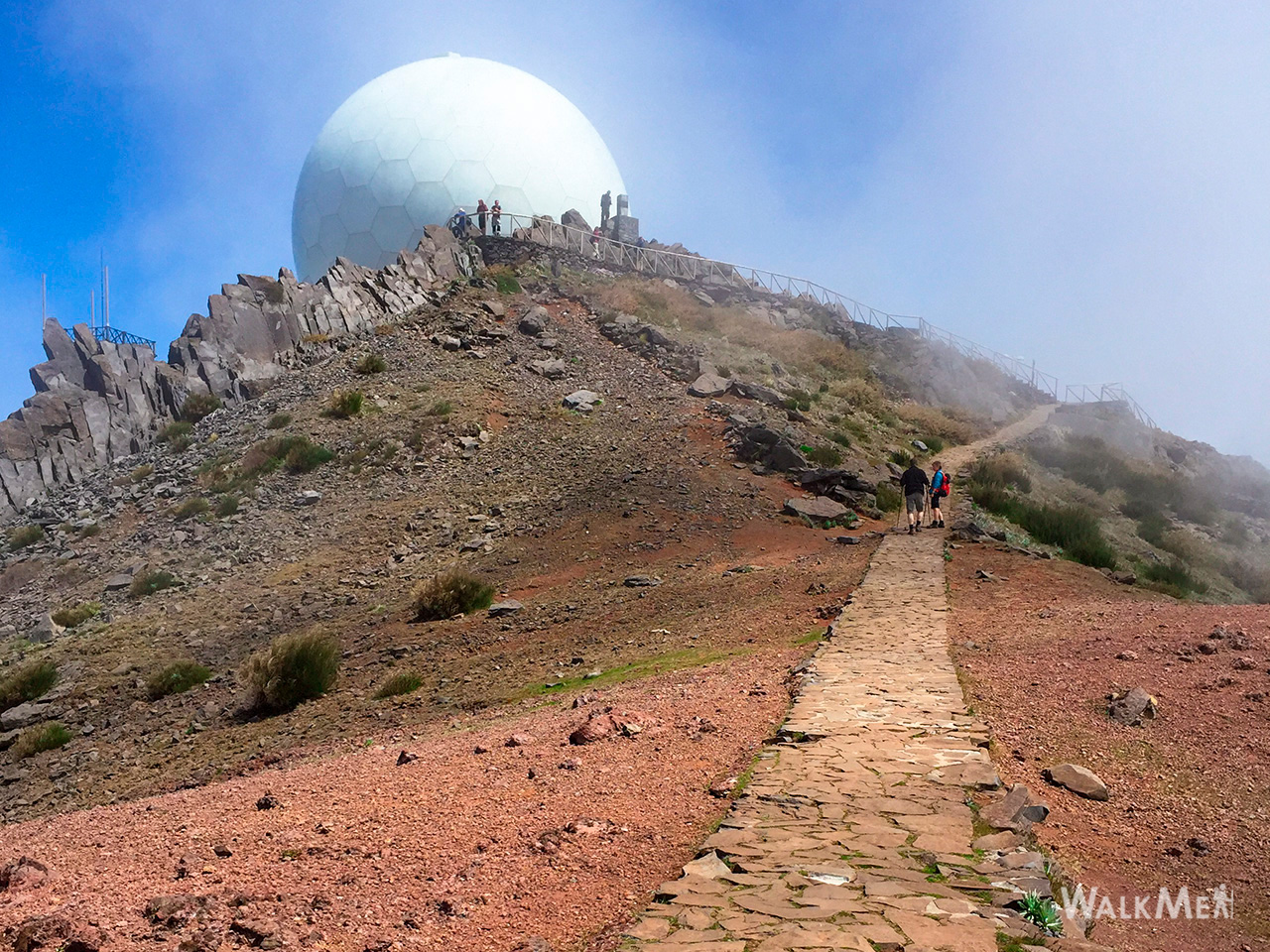
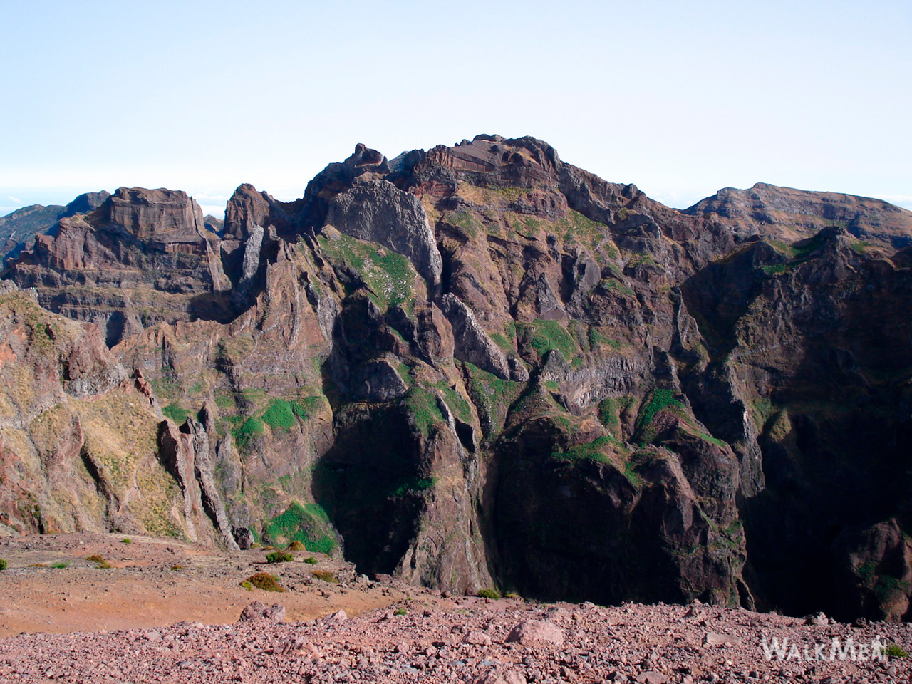
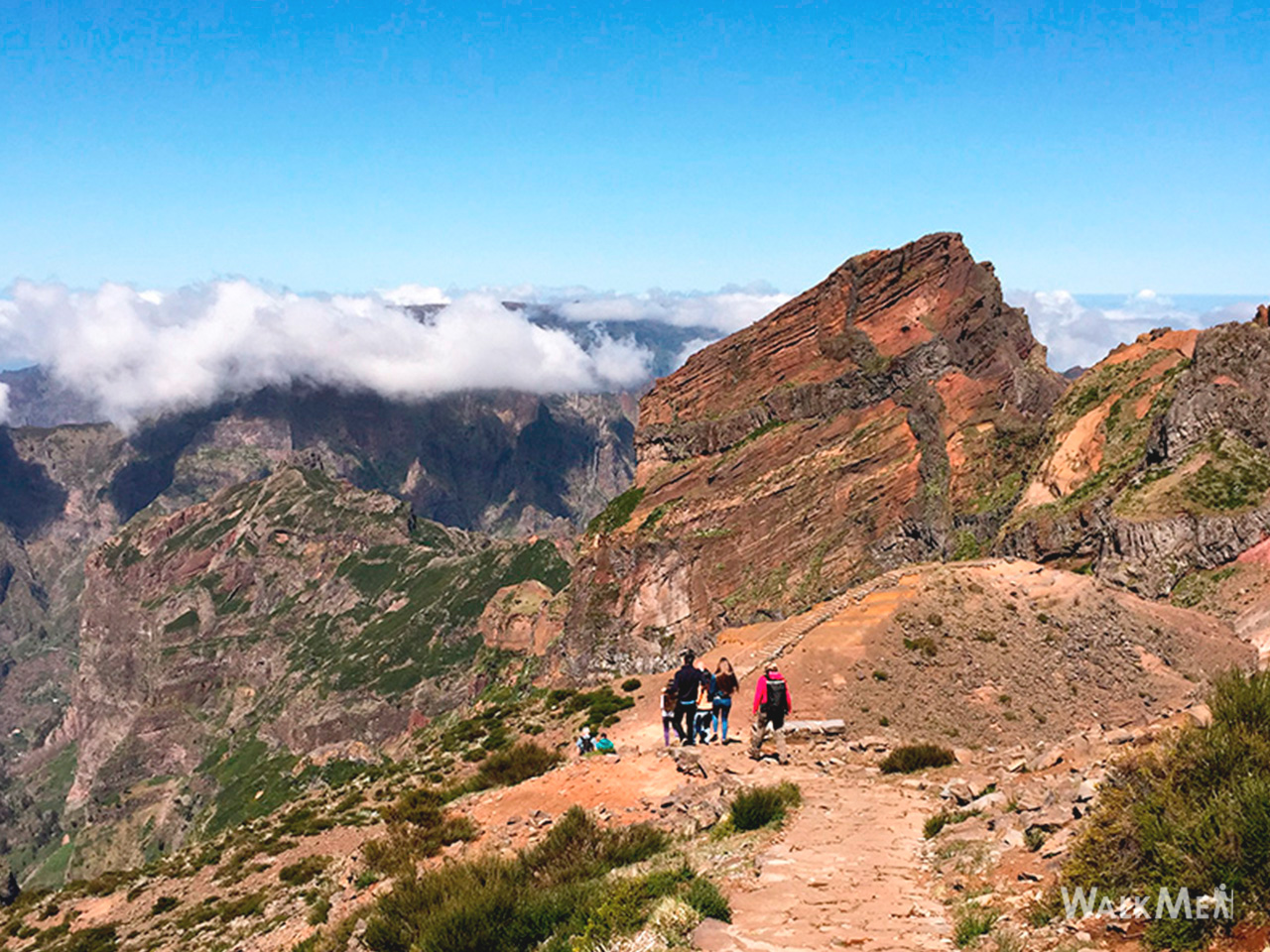
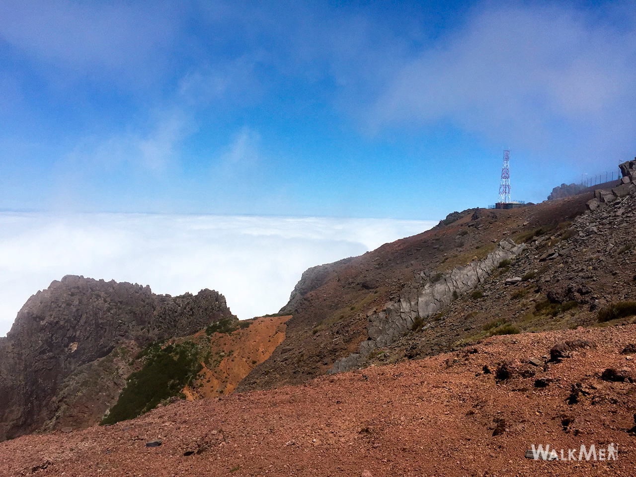
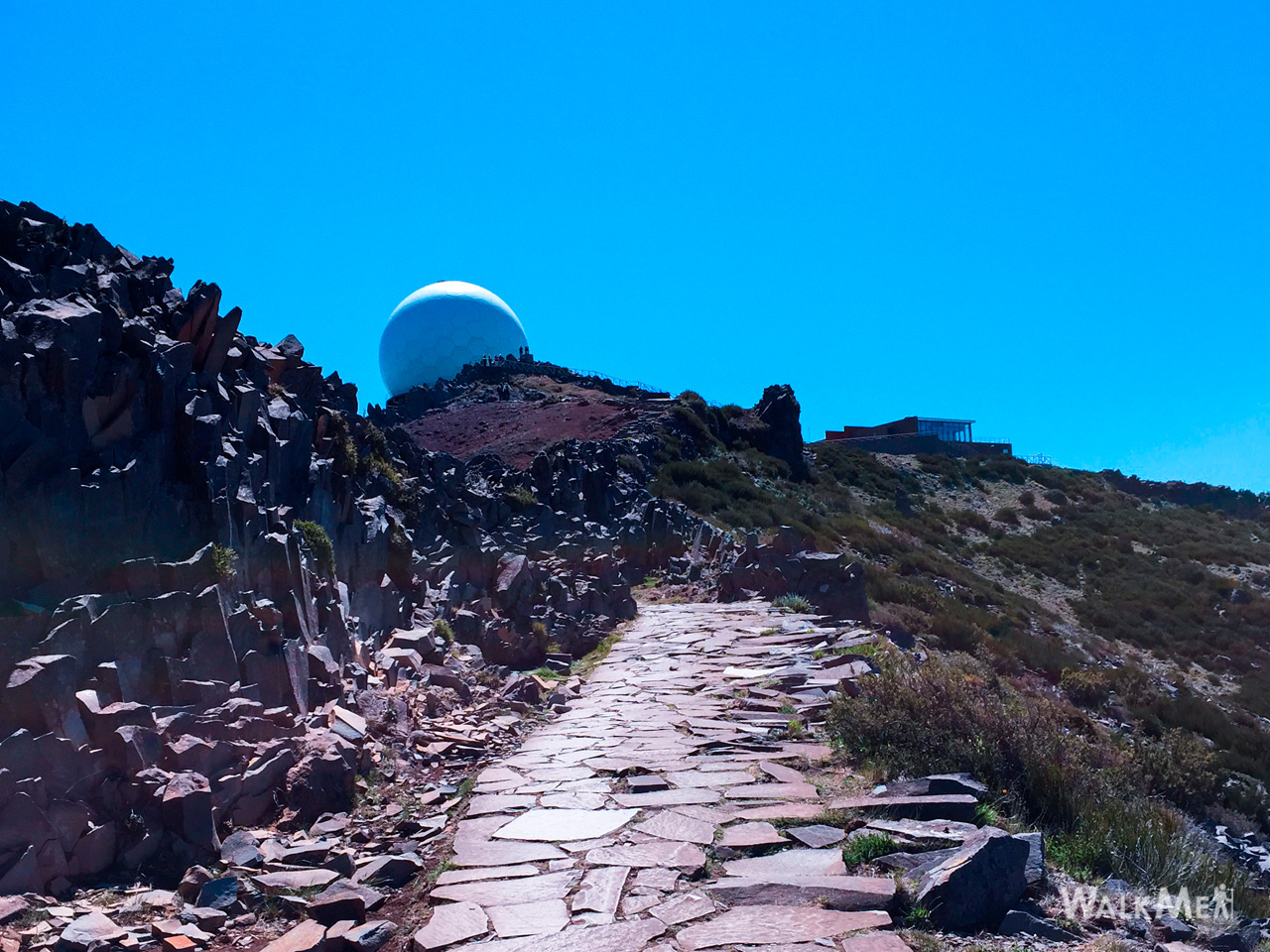
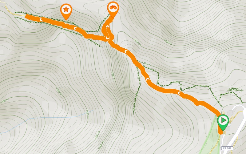
PR1 Vereda do Pico do Areeiro is one of the most iconic and sought-after trails on Madeira Island, crossing its highest peaks. Although this section does not cover the full route to Pico Ruivo, it still offers an extraordinary experience with unforgettable views. Along its approximately 1.2 km, the trail crosses part of the Central Mountain Massif until reaching the Ninho da Manta viewpoint, allowing you to admire the incredible landscape where the sky meets the island’s highest mountains. The route continues towards the Pedra Rija viewpoint, passing through the iconic “Stairway to Heaven.” After taking in the views, the return is made along the same path, back to the starting point at Pico do Areeiro viewpoint.
Gallery
Map and Elevation profile

Trail details
My trails
Weather

Webcam
www.netmadeira.ptMore trail details in WalkMe APP
Comments (0)
To leave a comment you must be
Hike this trail with confidence.