
Vereda do Burro (PR3)
Trail details
My trails
What to Expect
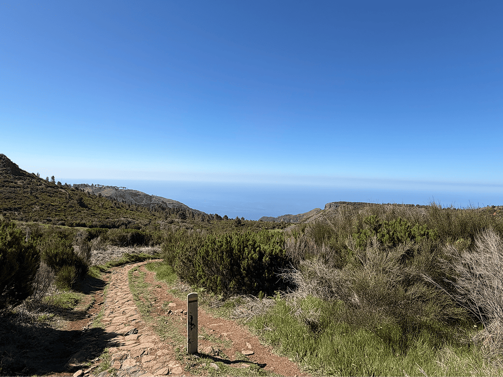
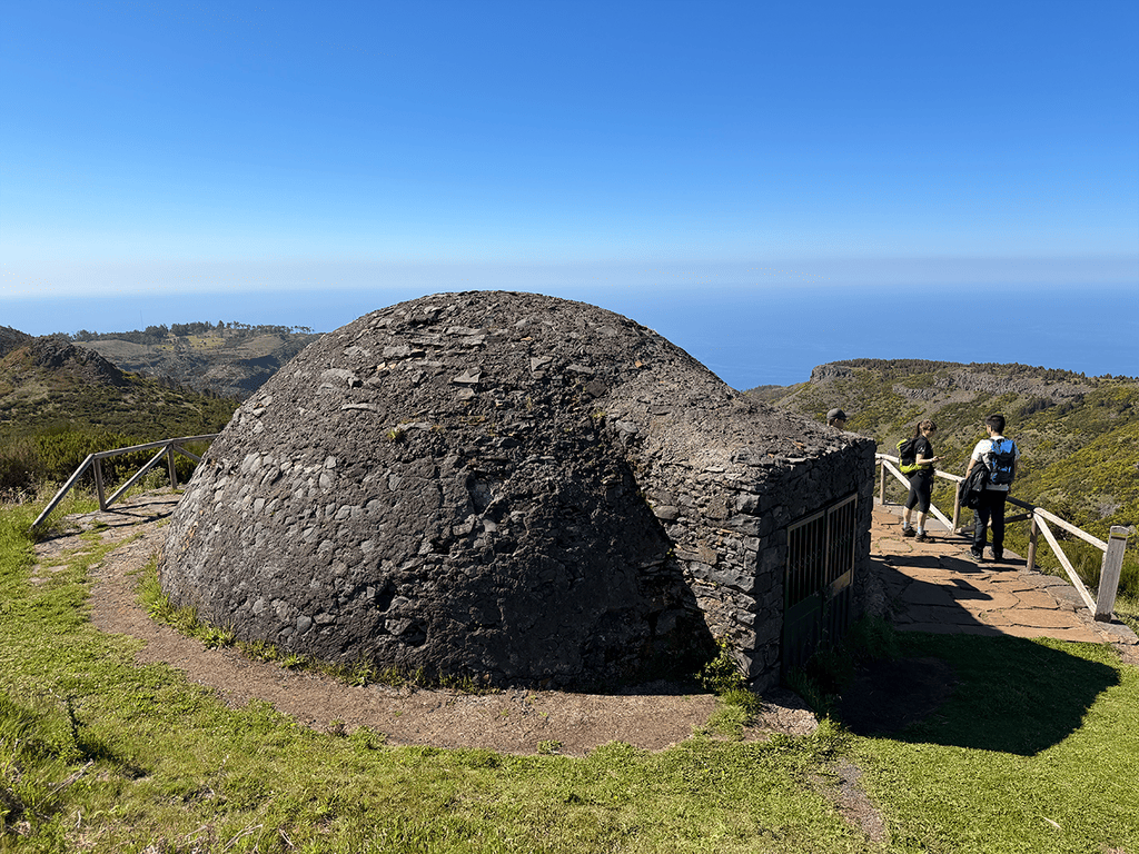
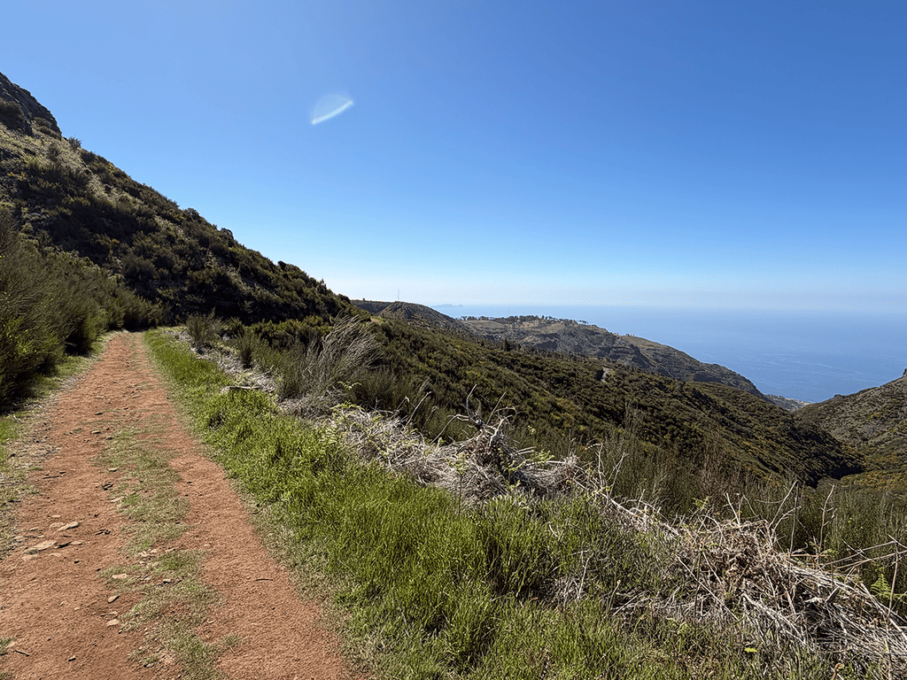
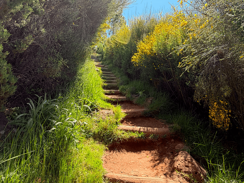
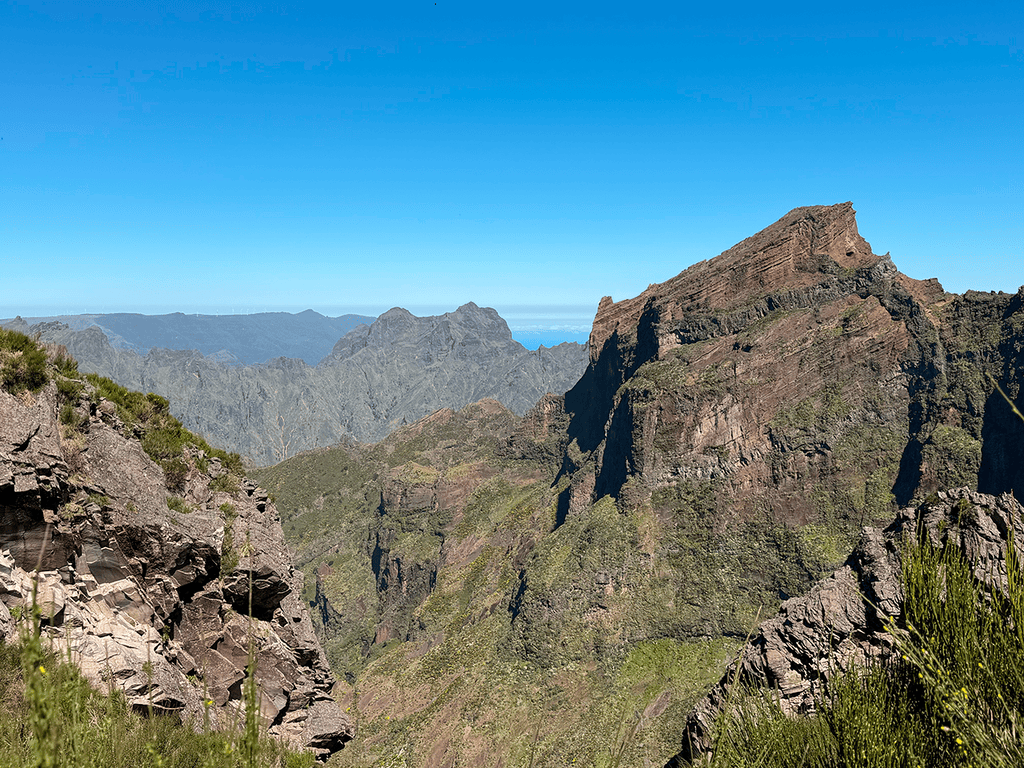
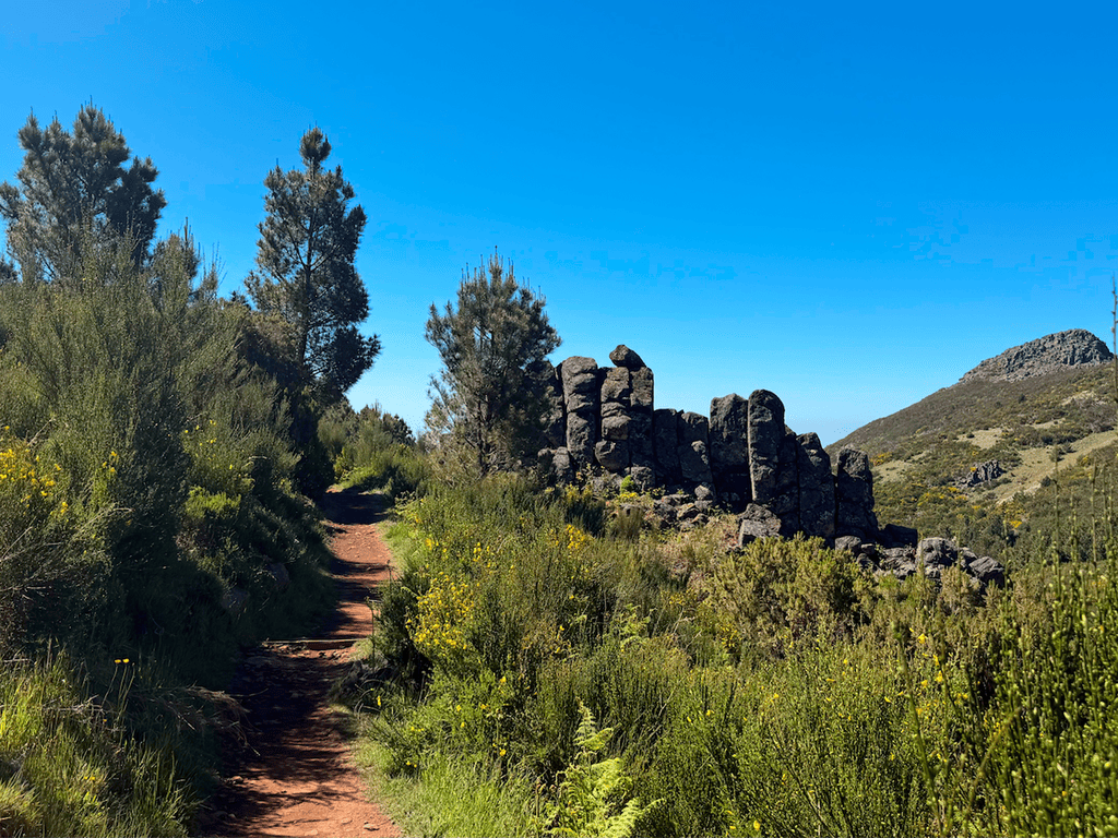
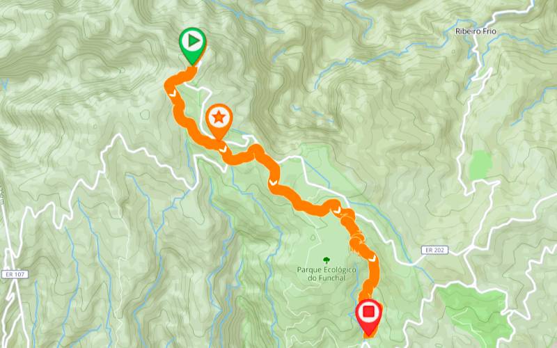
The Vereda do Burro trail is the perfect invitation for those wishing to explore the heart of Madeira's central mountain massif without demanding technical skills. Starting at an altitude of 1,805 meters, right next to the iconic Pico do Areeiro, this easy-level trail guides you through a fascinating landscape where high-altitude flora dominates the scenery. Along the way, be dazzled by the panoramic views over the Ribeira do Cidrão valley and Curral das Freiras. A true highlight of the hike is passing by the historic "Poço da Neve" (Snow Pit), an emblematic igloo-shaped reservoir dating back to 1813, which was once vital for storing snow and ice. Next to this structure, you will find an incredible viewpoint overlooking the city of Funchal. Immerse yourself in the mountain serenity and the natural wealth that leads you to the Funchal Ecological Park Reception Center. Prepare your camera, breathe in the pure mountain air, and enjoy an authentic nature experience. Tip: You can choose to hike this trail in reverse, starting at the Parque Ecológico do Funchal and heading towards Pico do Areeiro. Please note that this alternative significantly increases the difficulty level, as the constant ascent requires greater physical effort.
Gallery
Map and Elevation profile

Public transport
Pico do Areeiro
Trail details
My trails
Weather

Webcam
www.netmadeira.ptMore trail details in WalkMe APP
Comments (0)
To leave a comment you must be
Hike this trail with confidence.