Vereda do Larano
Trail details
My trails
What to Expect
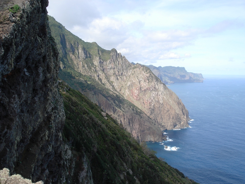
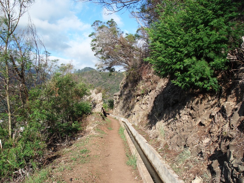
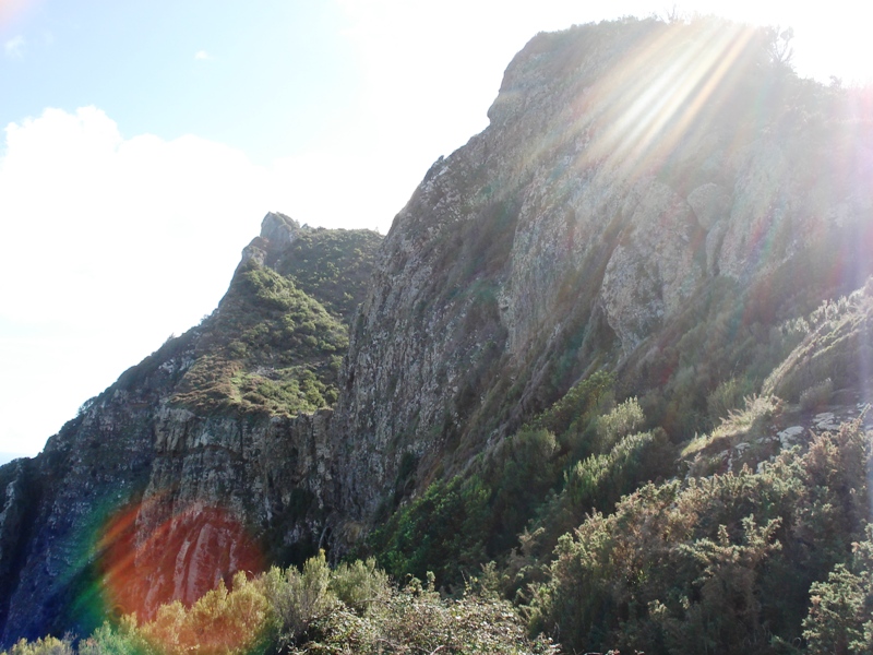
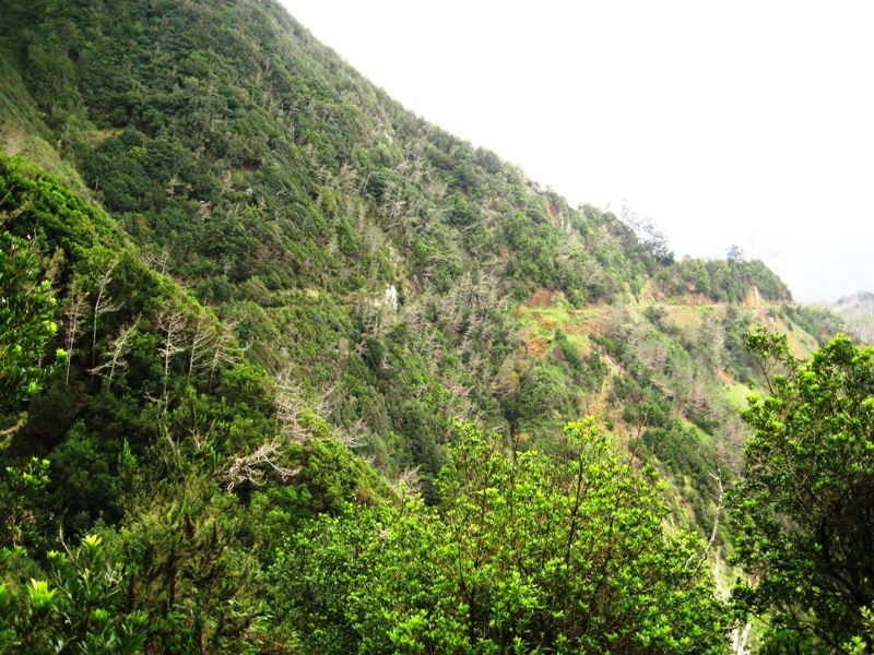
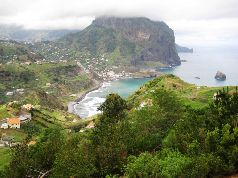
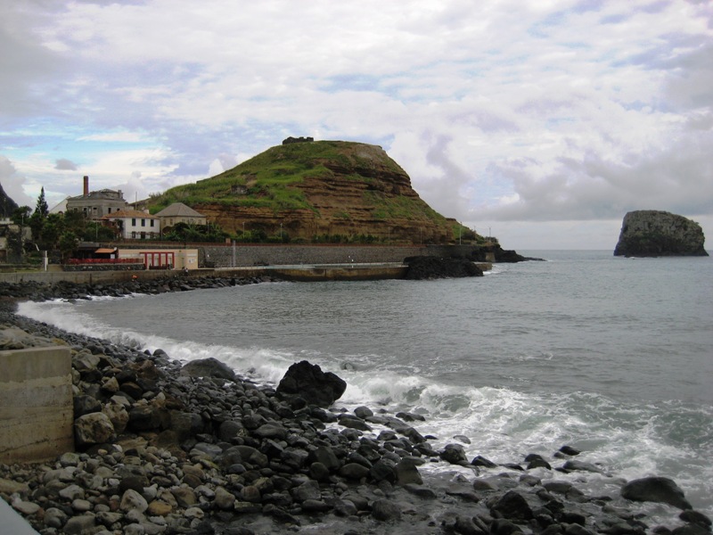
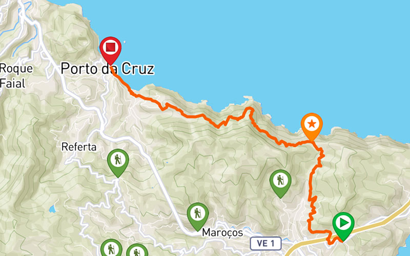
This trail has its start in Machico, near the old tunnel that connects Machico to Caniçal, and guides hikers to Porto da Cruz, through a path that was widely used by local people to travel between these two locations. The beginning of the trail is accessible to anyone, made in the Levada that offers magnificent perspectives over Machico until you reach the Viewpoint of Boca do Risco, which offers a breathtaking view of the north coast of the island. Enjoy all the surroundings and scenic beauty of this spot. From here towards the Porto da Cruz the difficulty of the path is very. The trail is made by the hillsid overlooking the vast Atlantic Ocean, in a narrow path with no protection, so it is recommended only for experienced hikers. Along the way, take some time to enjoy the sights and all the surrounding of this walk. Once you reach Porto da Cruz you can relax for a while and get to know this location of the island, full of unique cultures and traditions.
Gallery
Map and Elevation profile

Trail Overview
Public transport
113 - Caniçal
53 - Faial
78 - Faial
208 - Faial

Trail details
My trails
Weather
Webcam
www.netmadeira.ptMore trail details in WalkMe APP

Comments (0)
To leave a comment you must be
Hike this trail with confidence.