Bica da Cana - Pináculo
Trail details
My trails
What to Expect
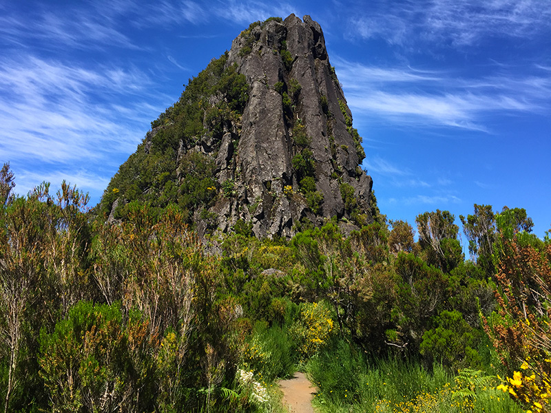
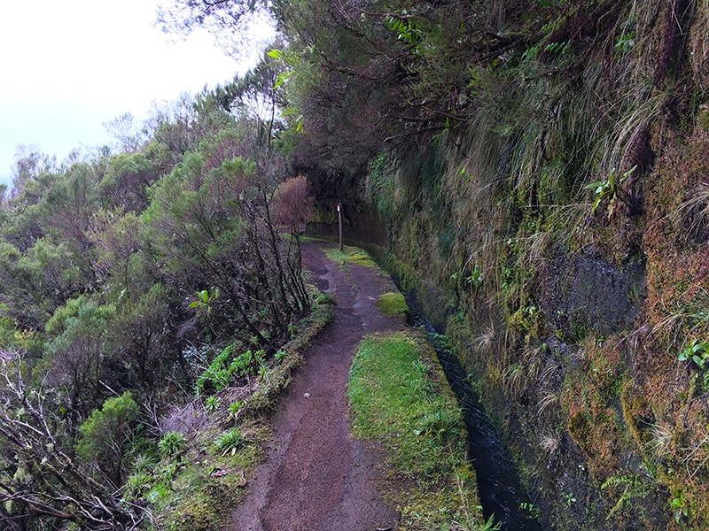
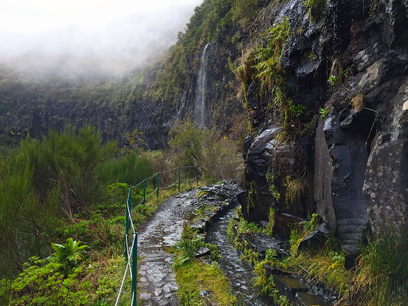
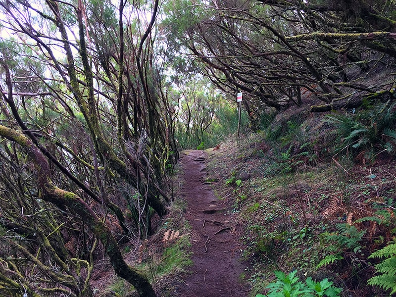
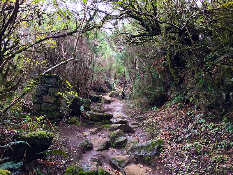
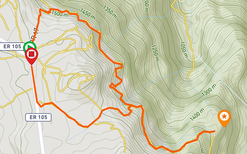
This circular route starts and ends on the fabulous plateau of Paúl da Serra, on the regional road 110, passing through the emblematic area named Pináculo, in a walk full of different and energizing experiences, inside a wonderful and pure nature. The walk begins with some descents and the floor is a bit irregular, while going through the nature, until arriving at the levada. From there the route is flat to the Pináculo. Enjoy the walk and don’t miss the opportunity to admire the diversity of flora and fauna, as well as the fantastic panoramic views of São Vicente, and the beautiful waterfalls that appear along the way. After reaching the Pináculo, you can take a break and relax for a while, enjoying the nature. The path returns by the same route until you reach the ascent to return to the starting point at Bica da Cana. This climb has around 500 meters long and is the most demanding part of the route, mainly because of the irregularity of the stones that make the steps. At the end of the climb, the path continues until you reach the road, a few meters before the starting point.
Gallery

Map and Elevation profile

Trail Overview

Trail details
My trails
Weather
Webcam
www.netmadeira.ptMore trail details in WalkMe APP

Comments (0)
To leave a comment you must be
Hike this trail with confidence.