Levada Nova - Santo da Serra
Trail details
My trails
What to Expect
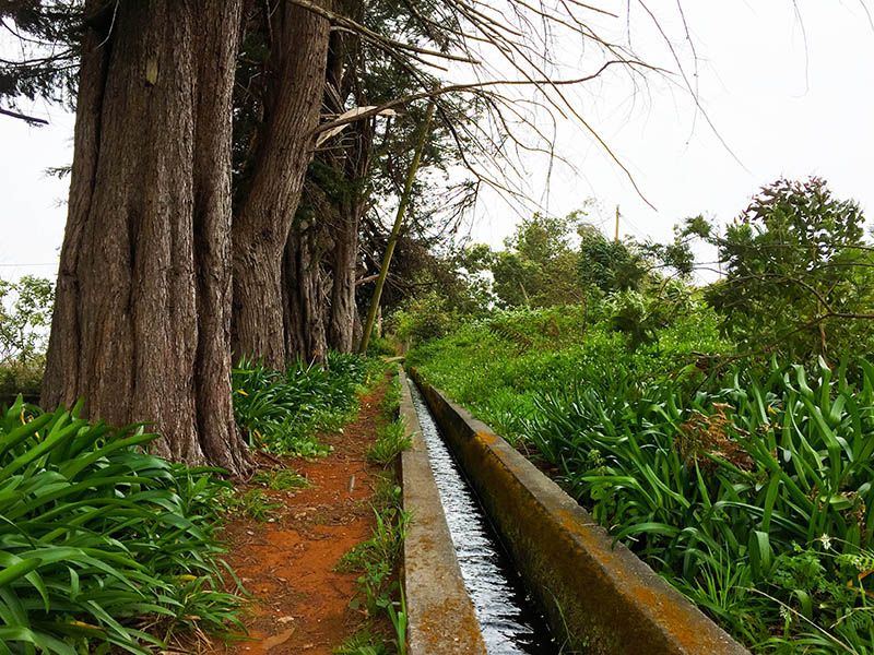
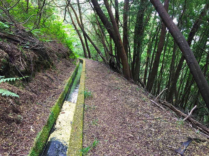
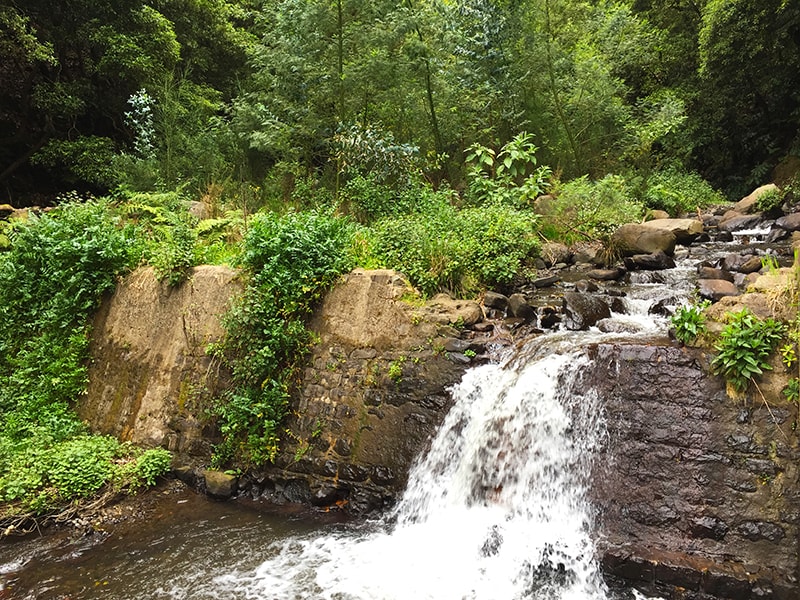
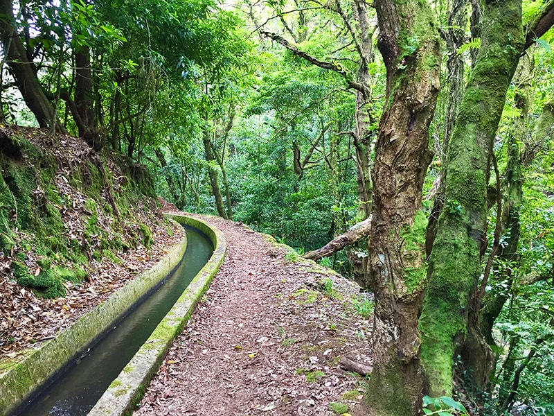
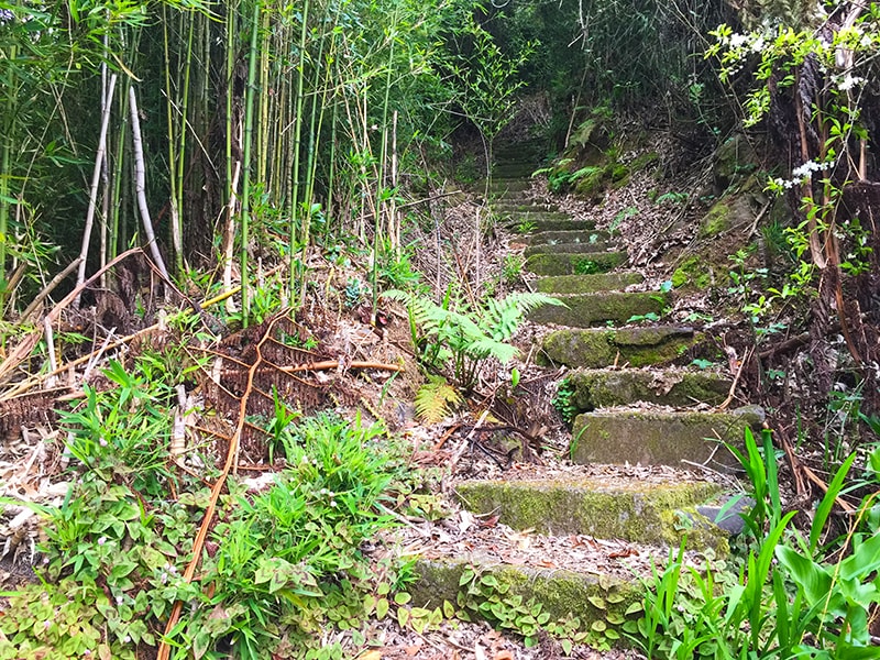
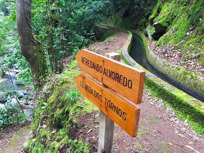
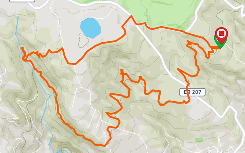
This circular route starts and ends in the emblematic area of Santo da Serra, so well known for its golf course and its traditional market, which happens every Sunday morning. The route starts near the Capela dos Cardais in a way a little troubled, with some natural obstacles but easy to overcome. Along the way you will find a diversity of endemic plants, which mix with other more wild and some more from the city. The experiences that this walk provides, always side by side to the water course of the levada, are as varied as its landscapes and all its surroundings. About 8 km away from the start, you will find a junction with several options to follow. Before deciding which route to choose, we recommend going to the end of the levada for about 150 m more, where you will find a waterfall. Enjoy to take a break, listen to the nature and recover energies. To return, we propose to come back to the junction and go up towards the Santo da Serra, although you can choose to return by the same path or continue in the direction of Levada dos Tornos. The ascent is approximately 200 meters of altitude in a mixture of stairs and dirt and stone roads. When you reach the main road, you should follow in the direction of the Capela dos Cardais, to get to the same point where the walk begins. Along the way, discover a little more of the rurality of the island of Madeira, its country houses and the characteristic weather.
Gallery
Map and Elevation profile

Trail Overview
Public transport
77
20 - Santo da Serra

Trail details
My trails
Weather
Webcam
www.netmadeira.ptMore trail details in WalkMe APP

Comments (0)
To leave a comment you must be
Hike this trail with confidence.