Santo da Serra - Ribeiro Frio
Trail details
My trails
What to Expect
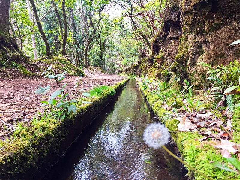
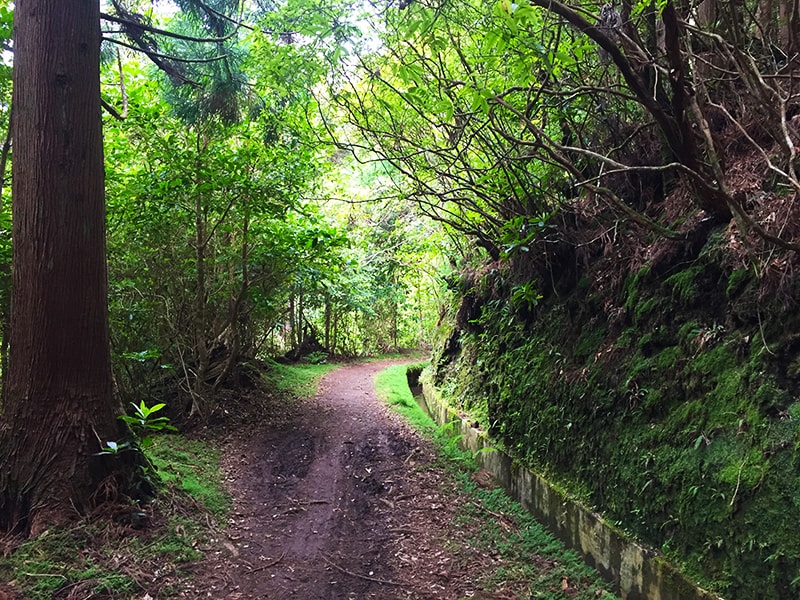
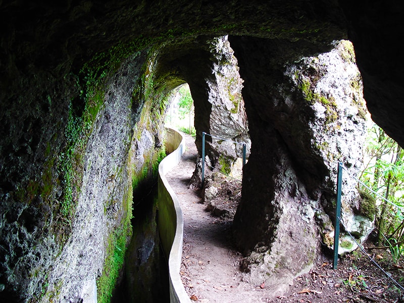
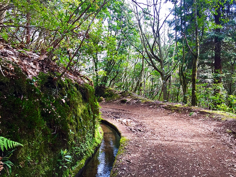
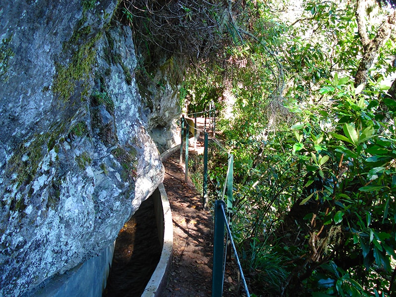
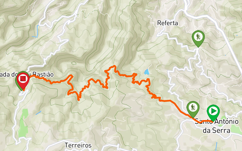
Notice: The section connecting to Ribeiro Frio is closed. This walk connects Santo da Serra to Ribeiro Frio, two of the main points of interest on Madeira Island, visited not only by tourists but also by residents. The path starts at the center of Santo da Serra, through a forest road passing by the Trout Fishing Park, where you can relax for a while, having a tea or simply enjoying the surroundings. Resume the forest road until you get the levada and immerse yourself on the amazing nature, enjoying every step while you appreciate the wide variety of endemic flora and fauna of Madeira Laurisilva. Along the way you’ll find some open areas that offer magnificent views of the valley and peaks of the island. Continue walking along the levada, enjoying the energy of all this pure nature surround you. At some point, you’ll find the way to Portela a possible end to this walk. However, we highly recommend you to keep going until the end of the path at Ribeiro Frio where you can explore the creation of trout or taste some typical specialties of the island.
Gallery
Map and Elevation profile

Trail Overview
Public transport
77
20 - Santo da Serra
56
103
138

Trail details
My trails
Weather
Webcam
www.netmadeira.ptMore trail details in WalkMe APP

Comments (0)
To leave a comment you must be
Hike this trail with confidence.