Camacha - Levada do Caniço
Trail details
My trails
What to Expect
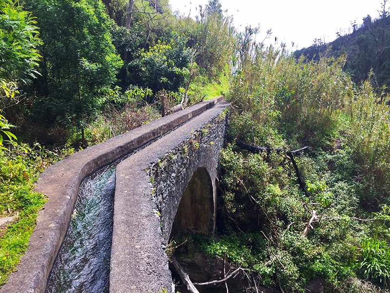
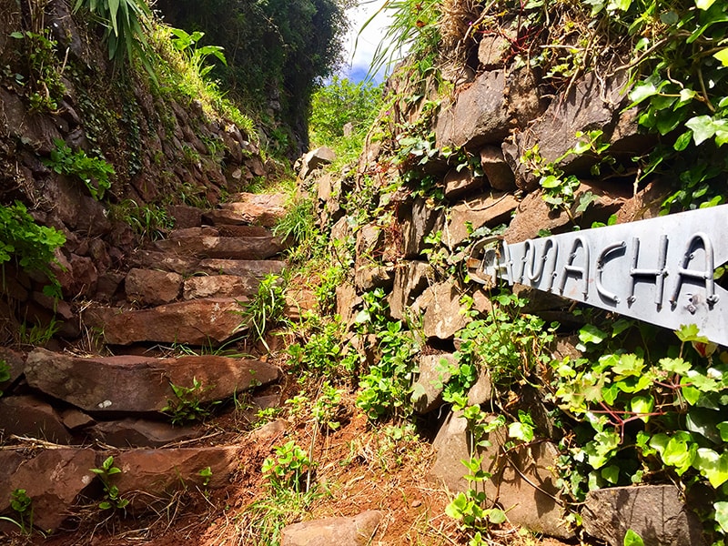
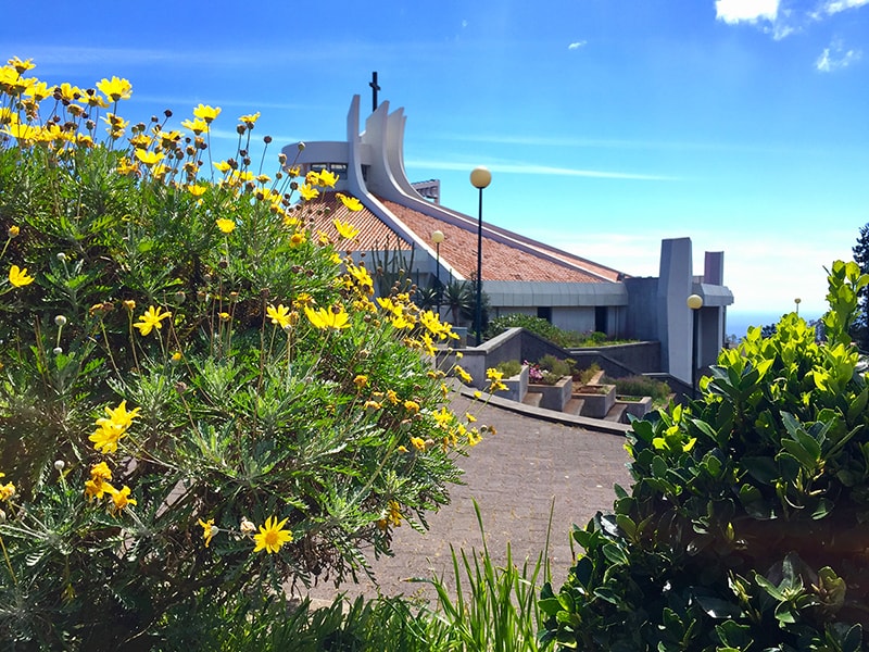
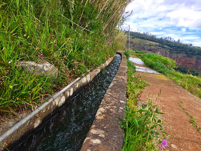
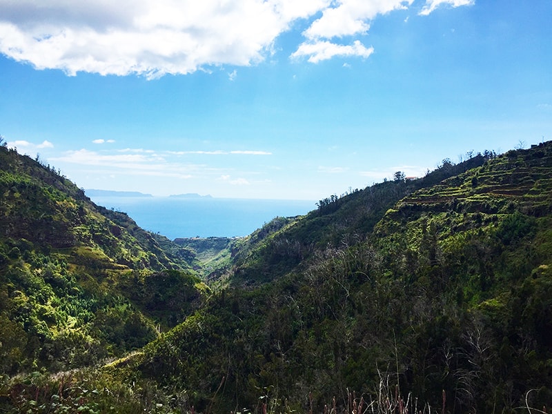
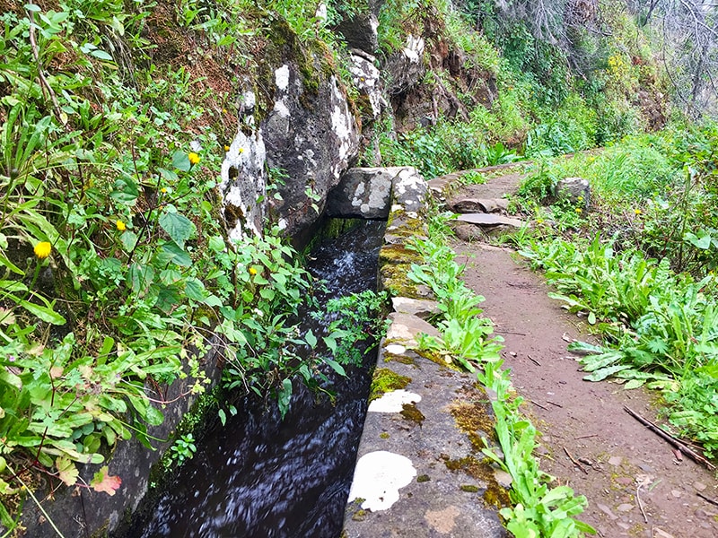
This route begins in the emblematic village of Camacha and takes the hikers to Caniço, along a walk full of diversity of landscapes, fauna and flora, which provide a truly rich experience to those who travel on it. Start in the center of Camacha and follow the road down towards Caminho dos Salgados, where you will find the descent to the Levada of Caniço. The descent is long and sloping, on stone steps that reflect the antiquity of the way. You may stop once on a while to enjoy the landscape that opens in front of you, showing the mountains, plantations and villas on the other side of the valley. It is the vision of a life typical of the countryside of the island. At the end of the descent, you must take the right way, following the waterway of the Levada do Caniço, which will take you on a magnificent trip with many adventures and a superb view over the valley and, deep in the horizon, the Desertas Islands. On the way, pay special attention to the floor that is sometimes uneven and narrow. The route ends in the the higher zone of Caniço, another area very well known to tourists and residents in the south of Madeira Island, chosen by many to spend their vacations.
Gallery
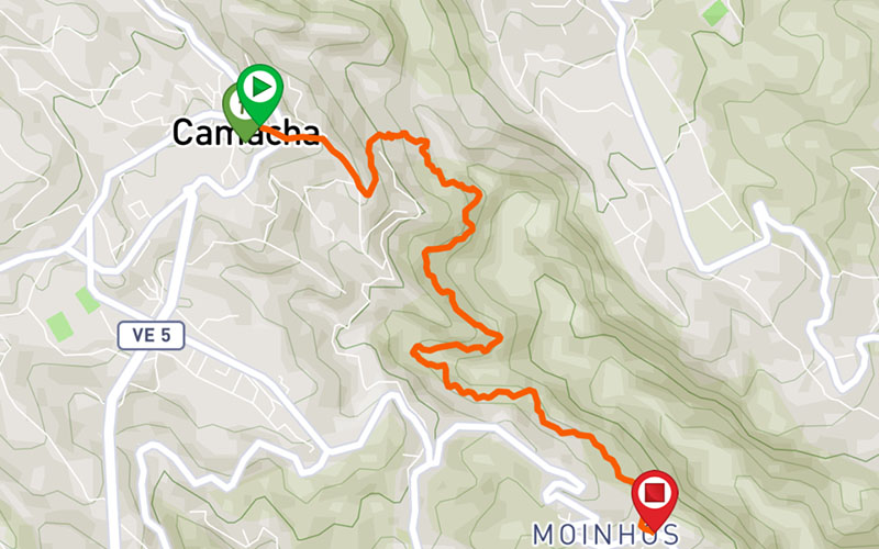
Map and Elevation profile

Trail Overview
Public transport
129
109

Trail details
My trails
Weather
Webcam
www.netmadeira.ptMore trail details in WalkMe APP

Comments (0)
To leave a comment you must be
Hike this trail with confidence.