Santo da Serra - Levada da Serra do Faial
Trail details
My trails
What to Expect
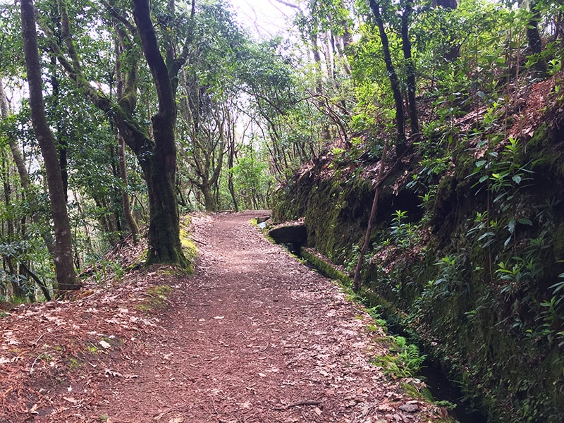
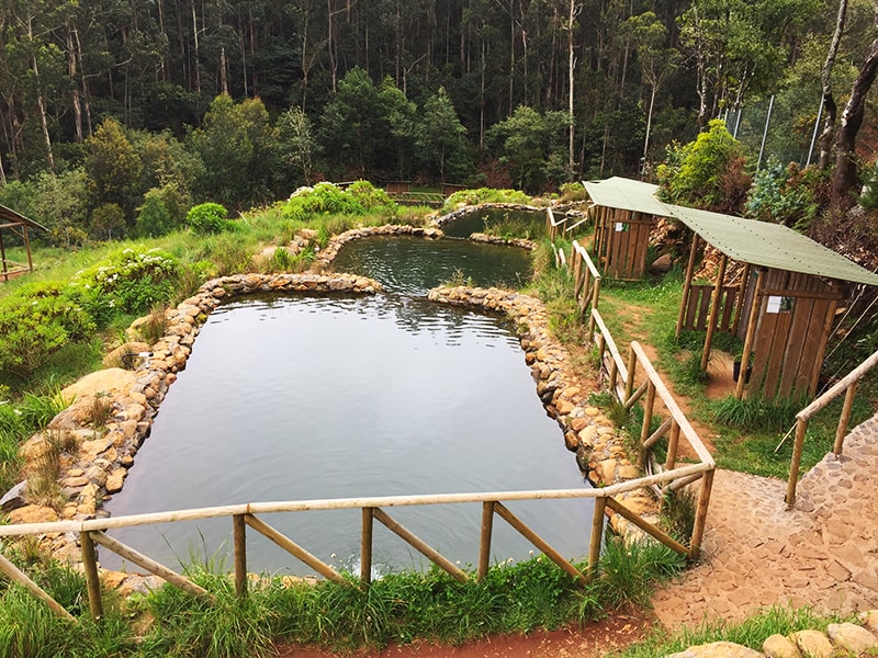
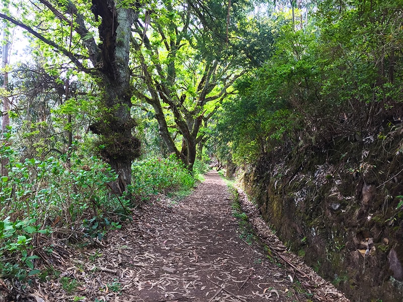
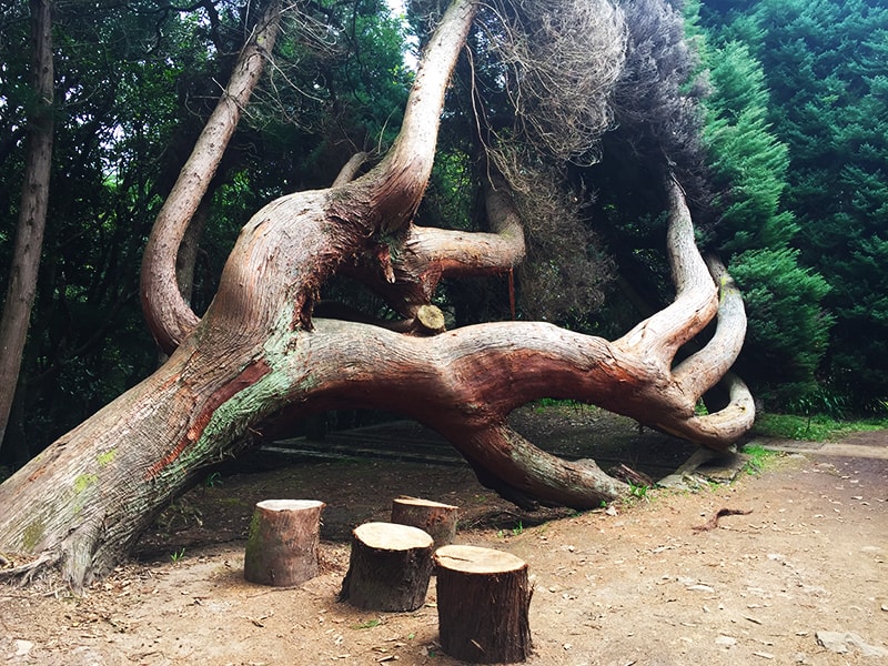
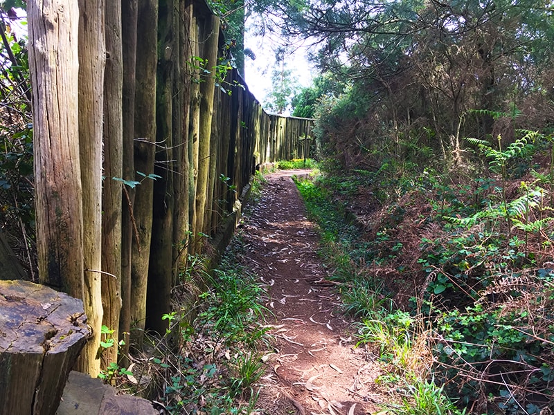
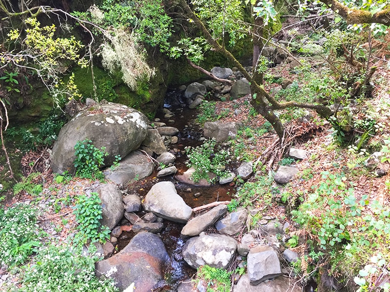
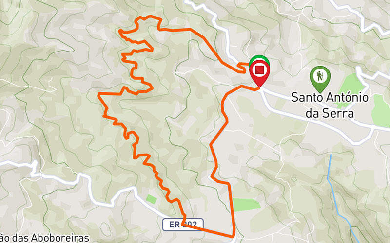
Santo da Serra is undoubtedly one of those mythical places of Madeira Island, visited regularly by many tourists and residents. And it is precisely here that begins this circular walk, which will take you on an extraordinary journey in the forest of the Island for about 10 kilometers. The walk starts with a slight climb up the forest road towards the Levada, past the Trout Fishing Park. Once you reach the levada, continue the path and enjoy to enjoy the beauty of nature, with several endemic species of flora and fauna of the Island. From time to time, the landscape opens to show the grandeur of the mountains that host some rural houses and farms that serve as holiday homes for many tourists and residents, allowing them to escape the daily routine of the city. The trail continues until reaching the "4 roads" zone, where the descent is proposed to reach the starting point of the trail. Despite continuing on a road, there is still a proximity to nature. The aromas, the flowers and the country atmosphere make this road perfect to know a little more this area of the island.
Gallery
Map and Elevation profile

Trail Overview
Public transport
77
20 - Santo da Serra

Trail details
My trails
Weather
Webcam
www.netmadeira.ptMore trail details in WalkMe APP

Comments (0)
To leave a comment you must be
Hike this trail with confidence.