Levada do Norte (Cabo Girão - Ribeira Brava)
Trail details
My trails
What to Expect
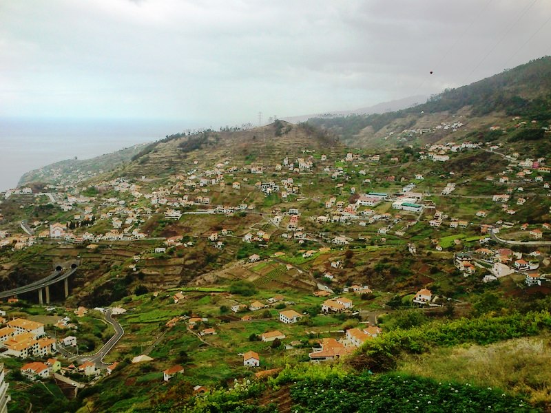
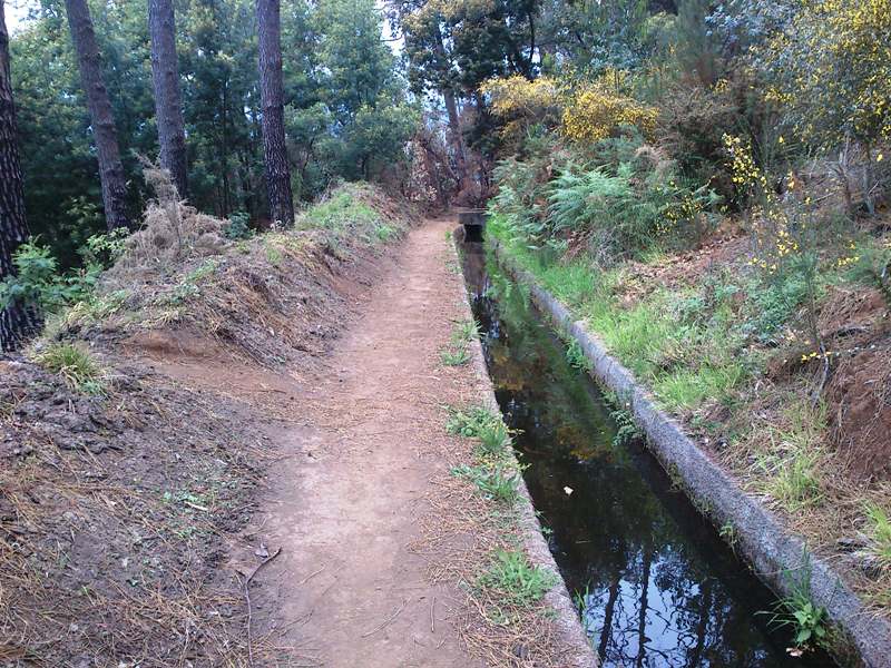
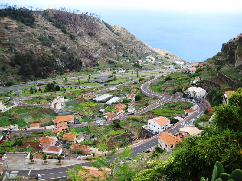
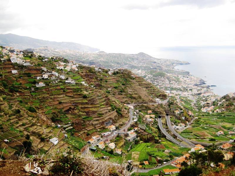
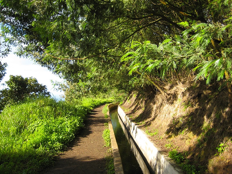
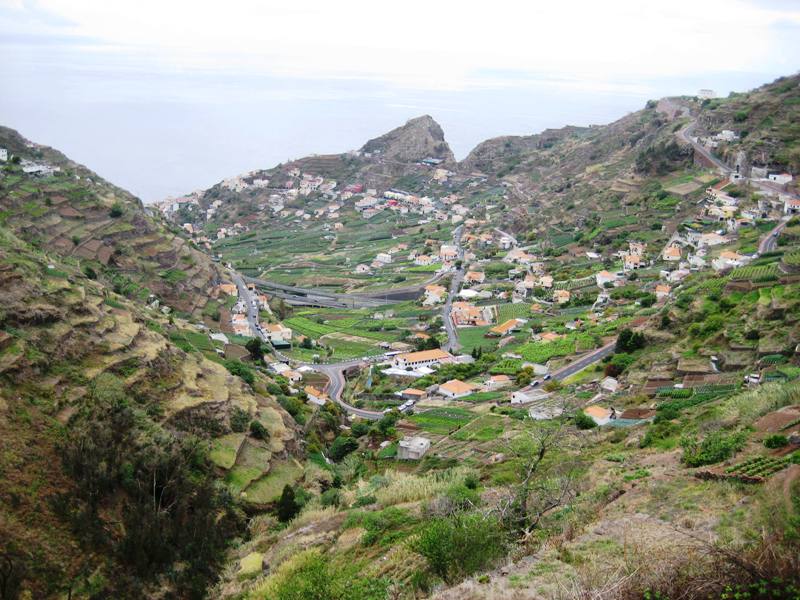
The Levada do Norte is one of the largest and most important of the island, which runs through much of the region. This magnificent stretch of the Levada do Norte begins just below the well known Cabo Girão, leading hikers to the area of Boa Morte in Ribeira Brava. It is a very pleasant and easy trail that can be done all year round, because is located in the southern part of the island, where the climate is milder. Along the way, you can enjoy the fantastic views that arise, which highlight the parishes of Câmara de Lobos and Campanário. In these views the hiker can also observe the green fields, the carefully worked plantations and a set of houses and buildings that form the villages. Occasionally, you may find some people of the area that is handling their land, or just taking a walk. Similarly to other walking paths of Madeira Island, here there are also several species of fauna and flora of this site. Take a break once in a while and enjoy the magnificent views and the entire surrounding. Let the nature revitalize you!
Gallery
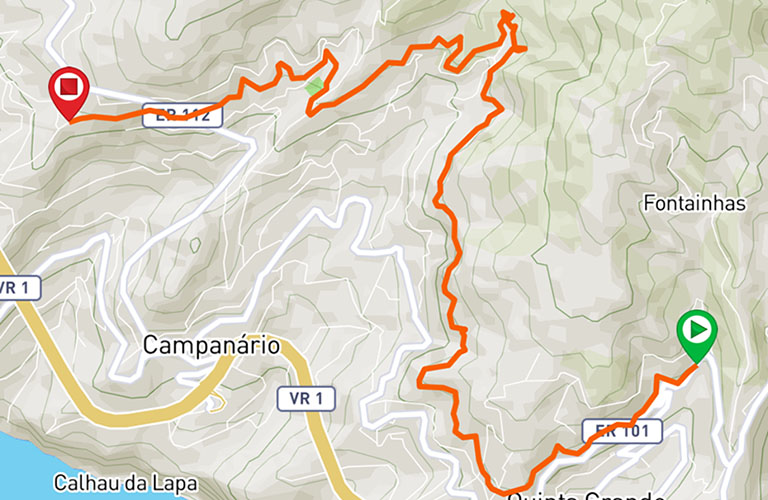
Map and Elevation profile

Trail Overview
Public transport
142
6

Trail details
My trails
Weather
Webcam
www.netmadeira.ptMore trail details in WalkMe APP

Comments (0)
To leave a comment you must be
Hike this trail with confidence.