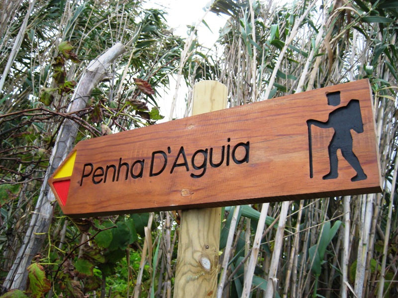
Vereda da Penha de Águia
Trail details
My trails
What to Expect
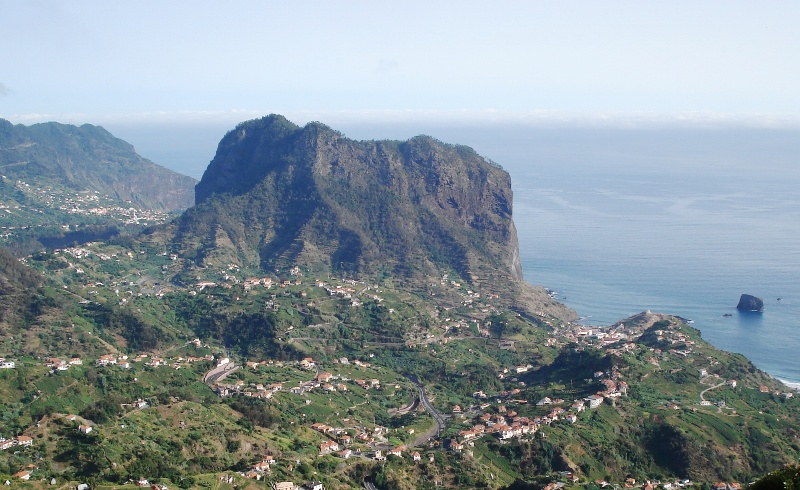
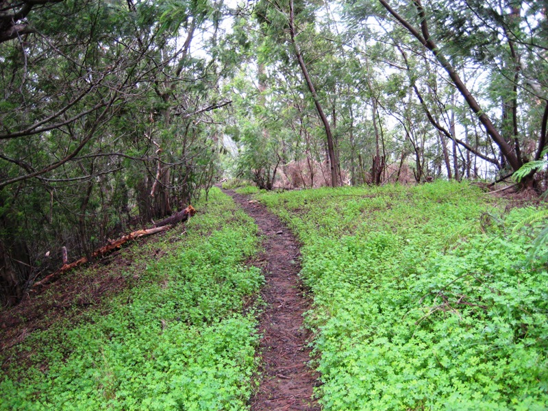
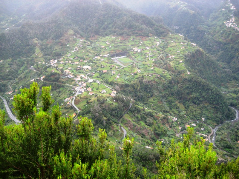
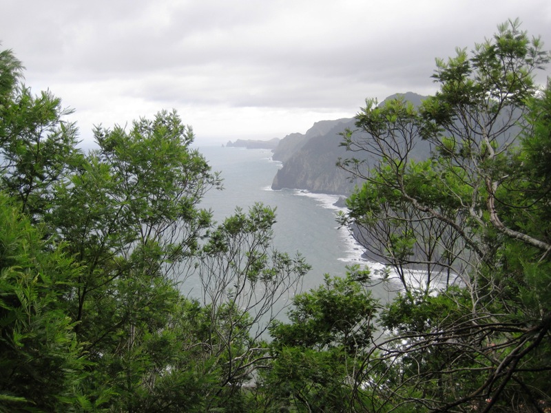
More than just a walk, this route represents a real challenge: climbing to the top of Penha d´Águia, one of the most emblematic rocks of Madeira. The slippery and pronounced slope increases the difficulty of this route, requiring extra attention and some resistance of hikers, so it is mostly recommended for experienced hikers. After the steep climb, you will reach the top of the rock. Take some time to relax and explore the several viewpoints that this place offers, providing wonderful views over Porto da Cruz and Faial. The descent is as steep as the ascent, also with slippery floor. When arriving at the base of the rock, in the area of Faial, look up and enjoy the wonderful feeling of having reached the top of the imposing and emblematic Penha d´Águia!
Gallery

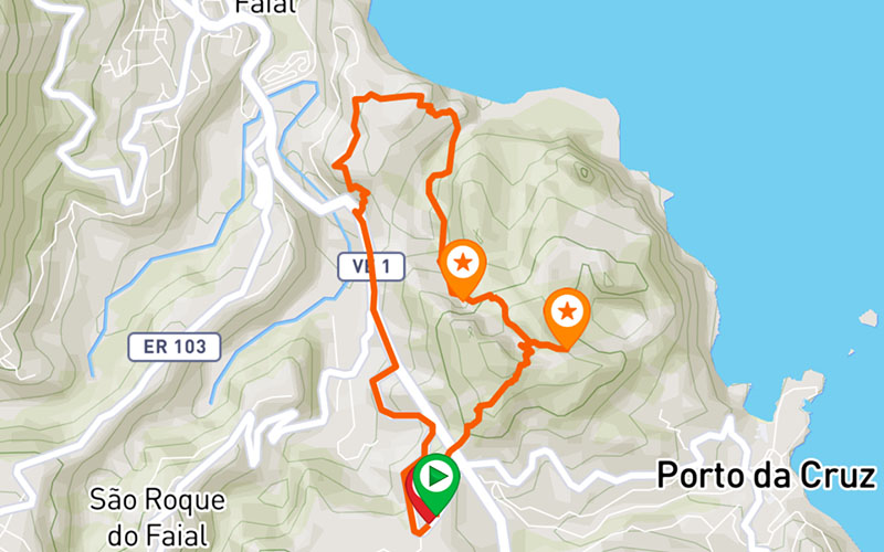
Map and Elevation profile

Trail Overview
Public transport
53 - Faial

Trail details
My trails
Weather
Webcam
www.netmadeira.ptMore trail details in WalkMe APP

Comments (0)
To leave a comment you must be
Hike this trail with confidence.