Caminho Real da Encumeada (PR12)
Trail details
My trails
What to Expect
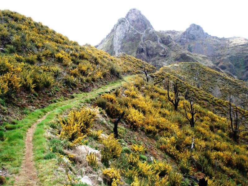
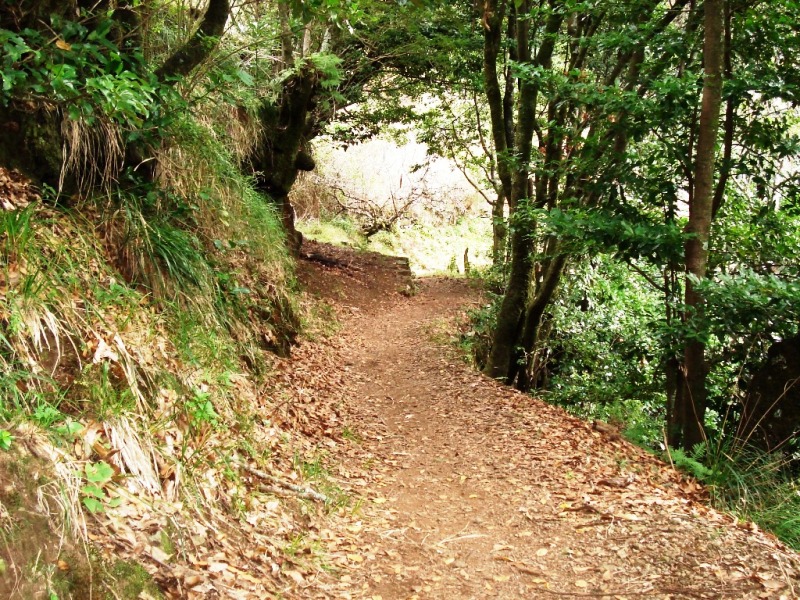
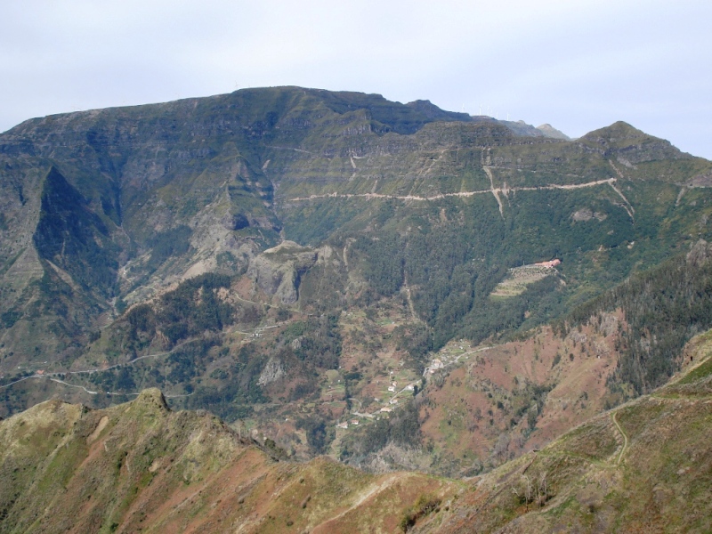
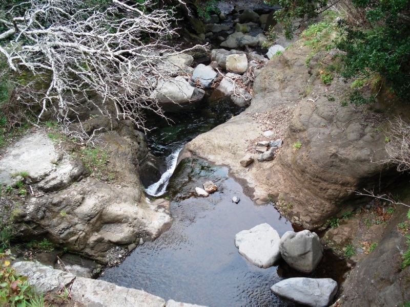
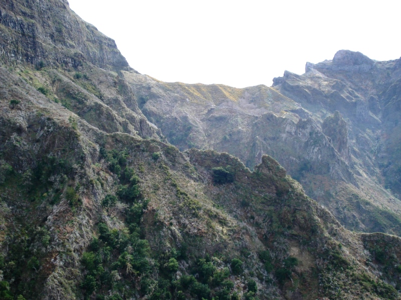
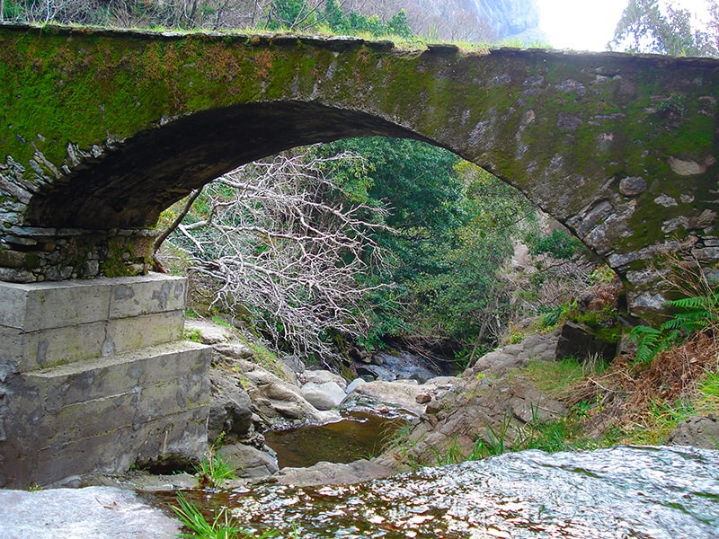
Important information: PR 12 Caminho Real da Encumeada is now passable from Boca da Corrida to km 3.5. This trail unfolds on the base of the highest peaksof Madeira Island, and crosses part of the majestic Massive Central Mountain. The perspective offered by this route changes at every turn, on every climb and every descent to fill the eye and soul of hikers. Along the way the views of Curral das Freitas (Nun’s Valley), located in the center of the island as well as the village of Encumeada emerges and deserve your contemplation. You can also enjoy the endemic species of the flora and fauna of Madeira Island, such as the laurel, the Vinhático, the Til, Firecrest, Chanffinch, Kestrel and many others. This trail requires some preparation and endurance, although the feeling of greatness and satisfaction offered by it clearly outweighs the effort. Moreover, while making this walk you will be taken to Ancient Madeira, as this was a major route that linked the north and south of the island.
Gallery
Map and Elevation profile


Trail Overview
Public transport
96

Trail details
My trails
Weather
Webcam
www.netmadeira.ptMore trail details in WalkMe APP

Comments (0)
To leave a comment you must be
Hike this trail with confidence.