Levada da Rocha Vermelha (PR28)
Trail details
My trails
What to Expect
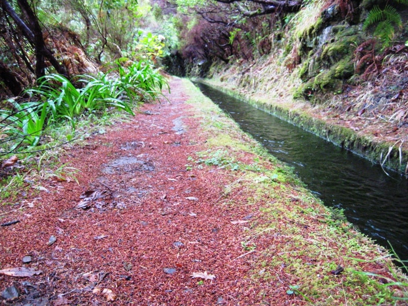
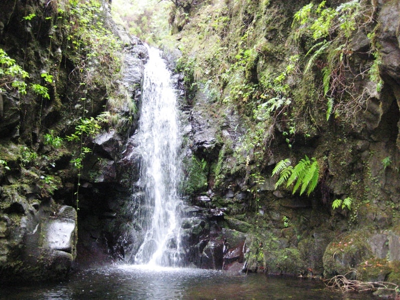
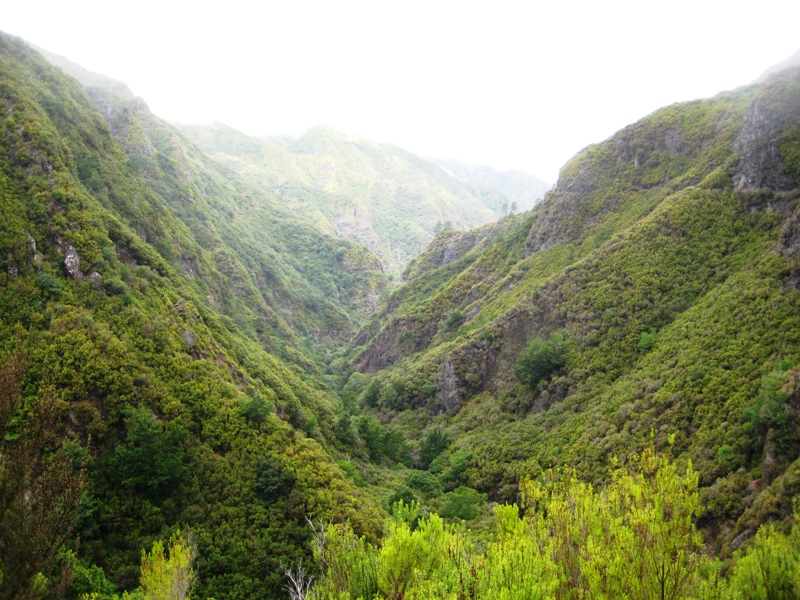
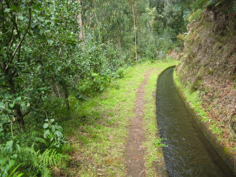
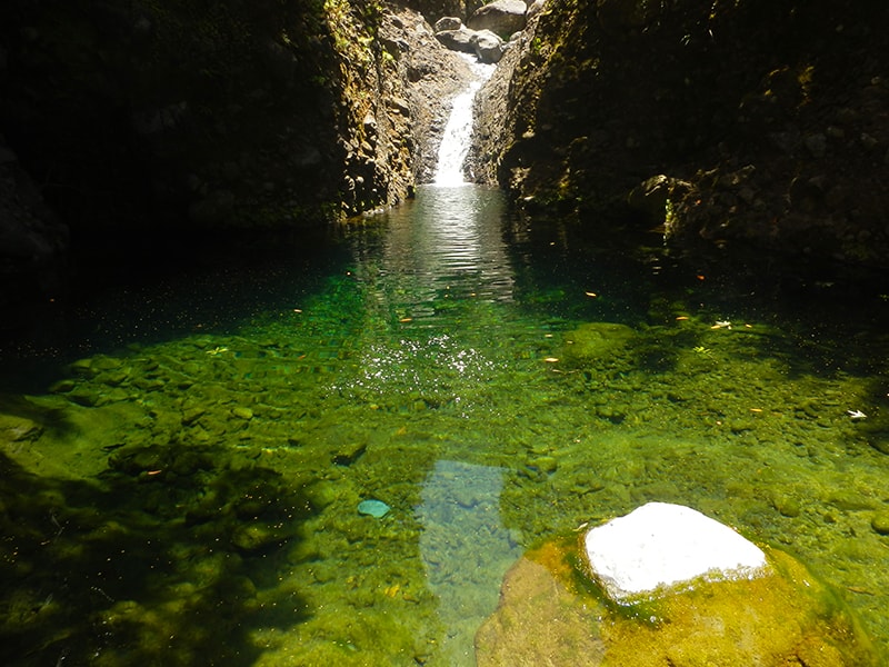
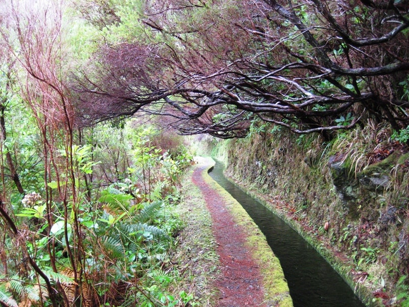
The trail of Levada da Rocha Vermelha begins in Calheta passing just below the Levada das 25 Fontes and perhaps that is why it is a bit less known. It is a very pleasant walk, ideal for spending a day in contact with the fantastic nature of Madeira Island. A few meters from the start of the route you will find a tunnel, although long, is accessible to anyone. Do not forget the flashlight and protect your head. Along the way hikers can appreciate several species of typical flora and fauna of the island, where we highlight the Chaffinch, the Heathers and Uveira. All this surrounding is complemented by the magnificent panoramic landscapes that occasionally arise, over the valley of the Ribeira da Janela or Paul da Serra. A little further on you will find an area with some ponds and small waterfalls, highlighting a beautiful cascade. Enjoy the place and take some photographs in this magnificent and pure environment. Follow the levada by the left and enjoy a few more kilometers full of natural beauty and landscape. When arriving at the end of the path, take a break and relax for a while and gain energy for the return, which should be done by the same way.
Gallery
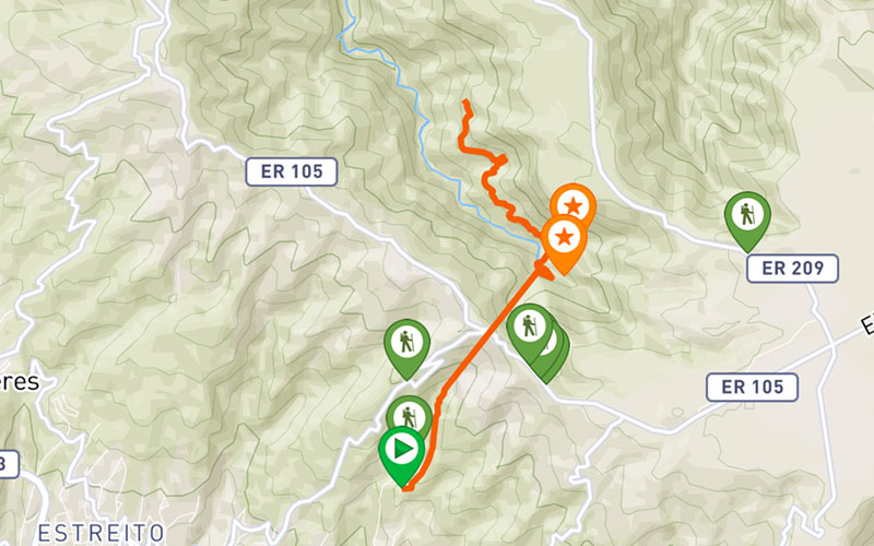
Map and Elevation profile

Trail Overview
Public transport
142

Trail details
My trails
Weather
Webcam
www.netmadeira.ptMore trail details in WalkMe APP

Comments (0)
To leave a comment you must be
Hike this trail with confidence.