Levada da Serra do Faial - Camacha
Trail details
My trails
What to Expect
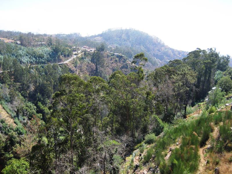
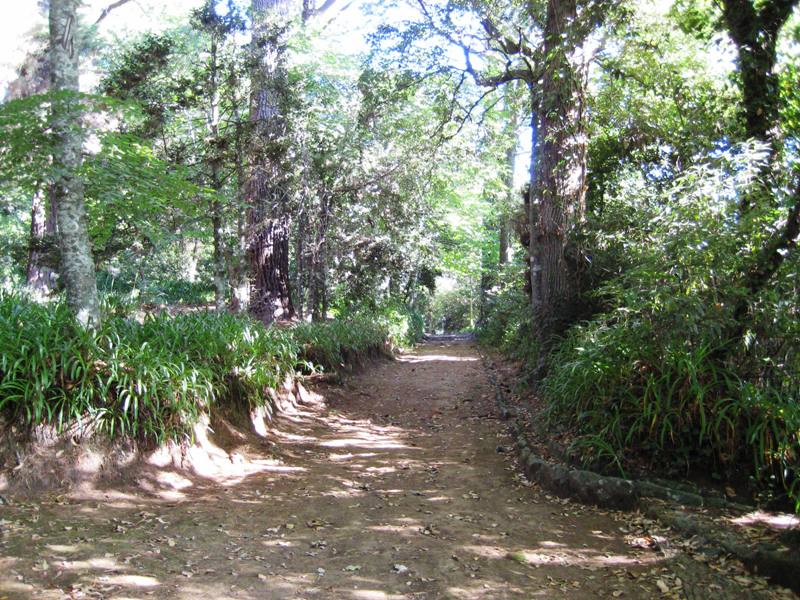
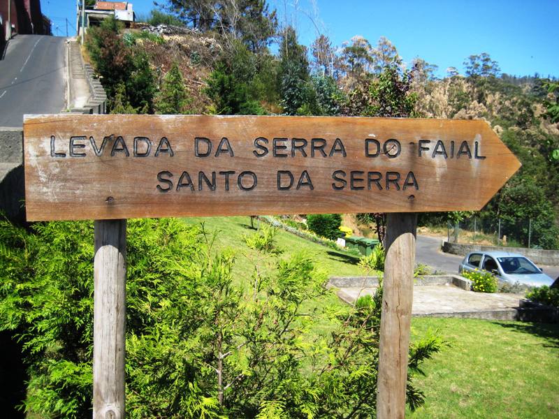
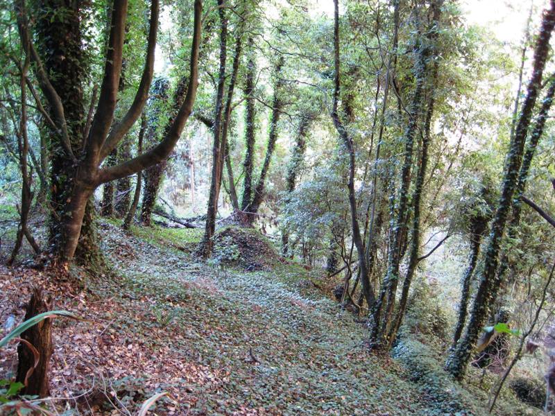
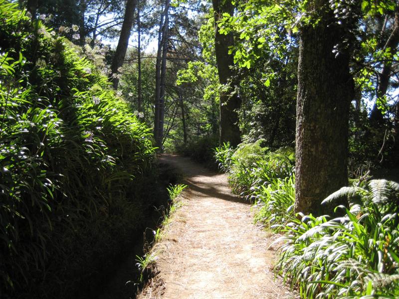
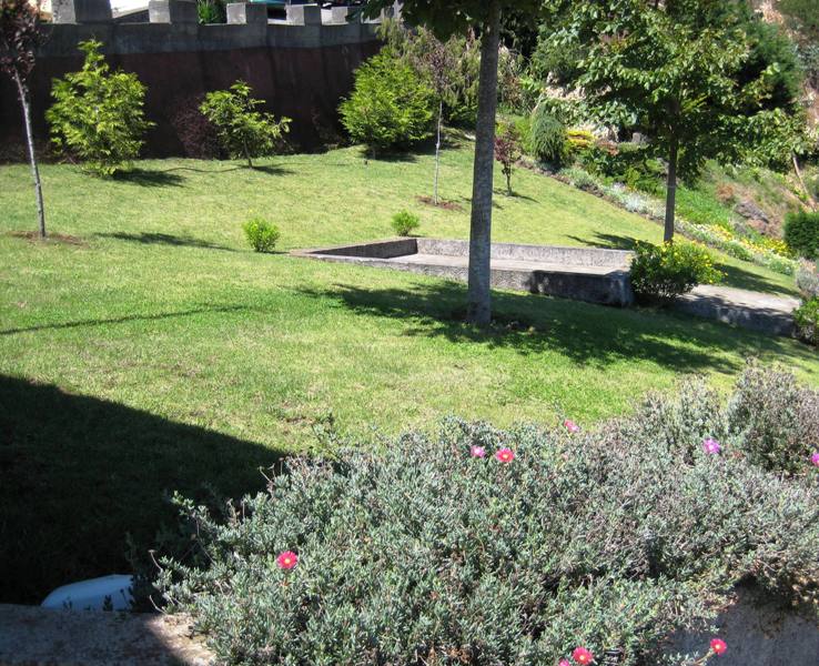
Also known as Paradise Valley A hidden forest, a paradise to discover. This walk begins in Choupana, in the highlands of Funchal, at the south of Madeira Island and takes hikers on a journey full of pleasant green tones of the forest of the island. Along this trail, made sibe by side with the Levada, hikers can observe several species of flora and fauna. Enjoy the natural sounds and the magnificent surroundings of this tour. Once in a while, emerge beautiful and breathtaking panoramic views of the small villages in the area of Funchal and Camacha, allowing you to see the island from a different perspective. This is an easy and affordable walk for anyone, which by being located in the southern part of the island is a valid option all year round. Camacha is the arrival point of this journey. A neighborhood well known for its strong cultural and traditional aspect, which is visited by hundreds of tourists daily. Take this tour and enjoy getting to know a little more of Madeira, you will like!
Gallery
Map and Elevation profile
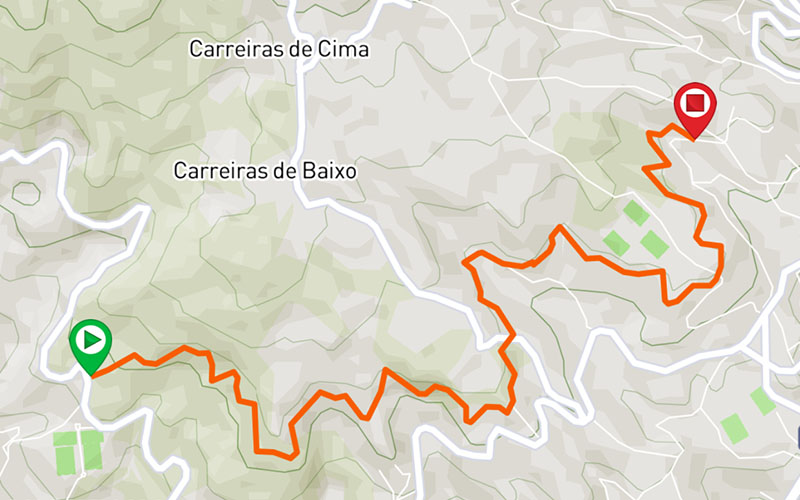

Trail Overview

Trail details
My trails
Weather
Webcam
www.netmadeira.ptMore trail details in WalkMe APP

Comments (0)
To leave a comment you must be
Hike this trail with confidence.